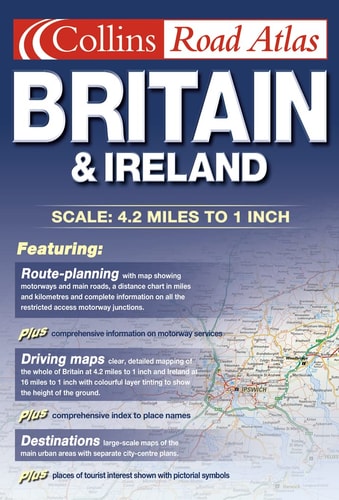
Collins Road Atlas
0
0
As an Amazon Associate and affiliate partner, Menrva Books earns from qualifying purchases. Learn more
Author Description
In this atlas, Britain is mapped at 4.15 miles to 1 inch and land heights are depicted with the use of layer colouring. Roads are colour classified to aid navigation.
Menrva's Summary
THE THESIS
This atlas provides a comprehensive, standardized cartographic representation of the British road network to facilitate efficient navigation and spatial orientation. The publication utilizes established cartographic conventions, including layer coloring for topography and a hierarchical color-coded system for road classification, to ensure clarity for the user. By maintaining a consistent scale of 4.15 miles to one inch, the work serves as a reliable reference tool for motorists and travelers navigating the United Kingdom.
THE SCOPE MAP
What You Will Find
- Detailed road network mapping of Great Britain at a scale of 4.15 miles to 1 inch
- Topographical representation using layer coloring to indicate land elevation
- Color-coded road classification system for improved navigational legibility
- Comprehensive coverage of major and secondary transport routes
THE AUTHORITY PERSPECTIVE
This atlas is regarded as a standard, utilitarian reference tool for physical navigation within the United Kingdom. Its design prioritizes legibility and functional accuracy, reflecting the long-standing cartographic expertise associated with the Collins brand.
Page Count:
192
Publication Date:
2001-01-01
Publisher:
Collins
ISBN-10:
0007137370
ISBN-13:
9780007137374
Travel
United Kingdom
Maps
Reference
Geography
Community Tags
Similar Books














