London Knowledge Atlas
0
0
As an Amazon Associate and affiliate partner, Menrva Books earns from qualifying purchases. Learn more
Author Description
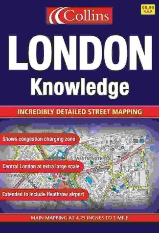
Scale: main mapping at 1:15,000 (4.25 inches to 1 mile), Central London at 1:7500 (8.5 inches to 1 mile). This atlas is ideal for the driver in central London. The large scale and high level of detail make it an essential purchase.
Menrva's Summary
THE THESIS
This atlas addresses the logistical challenge of navigating the complex, high-density road network of central London through precise cartographic representation. The publication provides a technical resource for drivers and navigators, utilizing specific scales to ensure clarity in urban environments. By prioritizing high-resolution mapping, the work serves as a practical tool for route planning and spatial orientation within the city's intricate layout.
THE SCOPE MAP
What You Will Find
- Main mapping coverage at a scale of 1:15,000.
- Specialized high-detail central London mapping at 1:7500 scale.
- Detailed street-level road network data for urban navigation.
- Cartographic measurements calibrated for vehicular travel.
THE AUTHORITY PERSPECTIVE
The subject matter points to a technical, utilitarian reference tool designed specifically for high-density urban navigation. The framing suggests a focus on clarity and scale accuracy intended for practical application by drivers in the London area.
Page Count:
104
Publication Date:
2003-05-06
Publisher:
HarperCollins Publishers
ISBN-10:
0007149999
ISBN-13:
9780007149995
Travel
Geography
London
Maps
Reference
London Greater London
Community Tags
Similar Books














