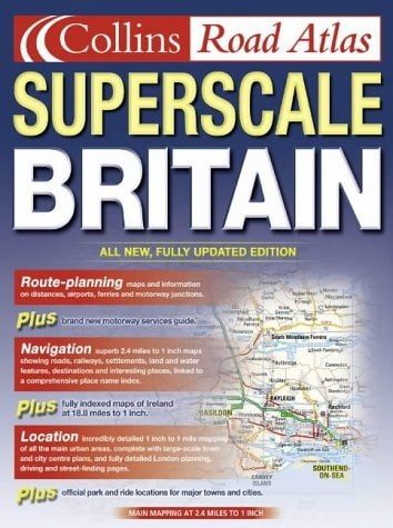
Collins Road Atlas Superscale Britain
0
0
As an Amazon Associate and affiliate partner, Menrva Books earns from qualifying purchases. Learn more
Author Description
G.B. & S. Scotland 2.4 miles to 1 inch Northern Scotland 3.2 miles to 1 inch Ireland 18.8 miles to 1 inch Exceptionally clear, uncluttered extra large scale mapping in full colour, displaying a high level of detail.MAIN FEATURES A large scale road atlas showing an even greater level of detail to the standard road atlases while maintaining a clear, easy to read and follow style.INCLUDES Map coverage of England, Wales and Southern Scotland at extra large 2.4 miles to 1 inch, with Northern Scotland at 3.2 miles to 1 inch. Double page Ireland mapping at 18.8 miles to 1 inch. Also includes route-planning maps, details of limited access motorway junctions and motorway services, a distance chart and full index to place names.AREA OF COVERAGE The whole of England, Scotland, Wales and Ireland.WHO THE PRODUCT IS OF INTEREST TO An extremely useful road atlas for people seeking clear, concise map detail at an extra large scale. Easy to use and easy to follow.
Menrva's Summary
THE THESIS
This atlas addresses the need for high-visibility, large-scale cartographic navigation across the British Isles. The publication provides a specialized visual framework for motorists and travelers who require granular detail beyond standard road maps. By utilizing an extra-large scale, the work prioritizes legibility and ease of use for navigation in complex road environments.
THE SCOPE MAP
What You Will Find
- Detailed road mapping for England, Wales, and Southern Scotland at a scale of 2.4 miles to 1 inch.
- Specialized mapping for Northern Scotland at 3.2 miles to 1 inch and Ireland at 18.8 miles to 1 inch.
- Supplementary navigation tools including route-planning maps, distance charts, and motorway service information.
- A comprehensive index of place names to facilitate rapid location searching.
THE AUTHORITY PERSPECTIVE
The subject matter points to a practical, utility-focused reference tool designed for high-frequency road navigation. Its emphasis on clarity and scale suggests a design philosophy centered on user accessibility and spatial precision for drivers.
Page Count:
240
Publication Date:
2002-01-01
Publisher:
Collins
ISBN-10:
0007141041
ISBN-13:
9780007141043
Travel
Great Britain
Maps
Road maps
United Kingdom
Europe
Ireland
Reference
Geography
Community Tags
Similar Books