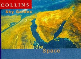
Collins Images of Earth
0
0
As an Amazon Associate and affiliate partner, Menrva Books earns from qualifying purchases. Learn more
Author Description
No description available.
Menrva's Summary
THE THESIS
This volume investigates the visual representation of Earth's surface through satellite imagery and aerial photography to provide a comprehensive overview of the planet's physical geography. The work utilizes high-resolution imagery to document diverse landscapes, ranging from arid deserts to dense rainforests and urban centers. By synthesizing these visual data points, the book offers a perspective on the environmental and structural diversity of the globe as seen from above.
THE SCOPE MAP
What You Will Find
- High-resolution satellite imagery of global landmasses
- Detailed visual documentation of diverse biomes and ecosystems
- Comparative analysis of natural and human-altered landscapes
- Cartographic context for geographical features shown in the imagery
THE AUTHORITY PERSPECTIVE
The subject matter points to a visual reference text intended for general readers interested in geography and environmental observation. The framing suggests an accessible, image-heavy approach that prioritizes visual clarity over dense technical analysis.
Page Count:
224
Publication Date:
2003-07-07
Publisher:
Collins
ISBN-10:
0007157258
ISBN-13:
9780007157259
Nature
Photography
Earth Science
Reference
Atlases & Maps
Geography
Community Tags
Similar Books