Greater London Street Atlas
0
0
As an Amazon Associate and affiliate partner, Menrva Books earns from qualifying purchases. Learn more
Author Description
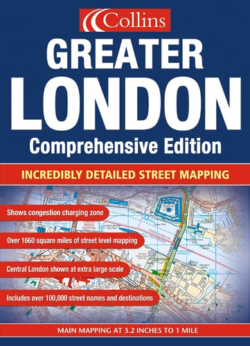
This street atlas of London contains a large amount of detail, with land use clearly colour coded to aid use. It includes thousands of updates and has involved extensive and exhaustive research on the ground. It incorporates mapping at four different scales, ranging from route planning maps to large-scale central area maps.
Menrva's Summary
THE THESIS
This atlas serves as a comprehensive navigational tool designed to provide precise, high-fidelity spatial data for the Greater London area. The editorial team at Collins utilized extensive on-the-ground surveying and cartographic verification to ensure the accuracy of street-level information. The work functions as a multi-scalar reference system, organizing complex urban infrastructure into a readable, color-coded format for both planning and navigation.
THE SCOPE MAP
What You Will Find
- Detailed street-level mapping covering the entirety of Greater London.
- Four distinct cartographic scales ranging from regional route planning to central district detail.
- Color-coded land use indicators for rapid visual identification of urban zones.
- Updated infrastructure data reflecting exhaustive field research.
THE AUTHORITY PERSPECTIVE
The technical density of this atlas suggests it is intended for professional navigators, urban planners, and residents requiring granular spatial accuracy. Its reliance on multi-scalar mapping provides a robust framework for both macro-level route planning and micro-level street identification.
Page Count:
432
Publication Date:
2003-01-01
Publisher:
Harper Collins
ISBN-10:
0007160356
ISBN-13:
9780007160358
Travel
Geography
London Greater London
Reference
Maps
London
Community Tags
Similar Books














