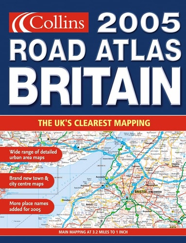
Collins Road Atlas Britain
0
0
As an Amazon Associate and affiliate partner, Menrva Books earns from qualifying purchases. Learn more
Author Description
3.2 miles to 1 inch 1:200,000. The ultimate road atlas for the year 2005, featuring brand new Collins mapping, redesigned for even greater clarity and ease of use. Urban area maps at 1 mile to 1 inch are included plus an improved range of city centre street plans. MAIN FEATURES Fully updated mapping covering the whole of Britain. With urban area maps at 1 mile to 1 inch. For the 2005 edition the town centre plans have been improved with extended plans of the major conurbations: London, Birmingham, Glasgow, Manchester, Leeds and Liverpool. INCLUDES * Park & Ride locations shown for major cities and towns * Motorway Services guide with information on facilities * Route planning maps & limited access junction information * Main mapping at 3.2 miles to 1 inch * Northern Scotland at 5 miles to 1 inch * Full London planning and detail section * Urban area maps at 1 inch to 1 mile * Comprehensive selection of improved town and city centre maps * Full index to place names and places of interest * Web-site guide to help you plan your journey * Ireland at 25 miles to 1 inch AREA OF COVERAGE The whole of Britain with a route planning map of Ireland. WHO THE PRODUCT IS OF INTEREST TO Any driver of any vehicle who requires the latest information, the most complete coverage and the clearest detail of any road atlas.
Menrva's Summary
THE THESIS
This atlas addresses the need for precise, high-clarity navigational data for motorists traveling across Britain in 2005. The publication utilizes updated cartographic standards to provide comprehensive coverage of the British road network, including specialized urban area maps and city center street plans. By integrating route planning tools with detailed infrastructure information, the atlas serves as a functional resource for vehicle navigation and logistical planning.
THE SCOPE MAP
What You Will Find
- Detailed road mapping at a scale of 3.2 miles to 1 inch for Britain and 5 miles to 1 inch for Northern Scotland.
- Specialized urban area maps at 1 mile to 1 inch and expanded city center street plans for major conurbations.
- Practical navigational data including Park and Ride locations, motorway services, and limited access junction information.
- A comprehensive index of place names and points of interest, alongside a route planning map of Ireland.
THE AUTHORITY PERSPECTIVE
The technical specifications and cartographic detail suggest a highly functional tool designed for the practical requirements of early 2000s road travel. The inclusion of specific urban planning sections and service guides indicates a focus on utility for both long-distance transit and local navigation.
Page Count:
176
Publication Date:
2004-01-01
Publisher:
Collins
ISBN-10:
0007177712
ISBN-13:
9780007177714
Travel
Geography
Reference
Transportation
Maps
Community Tags
Similar Books














