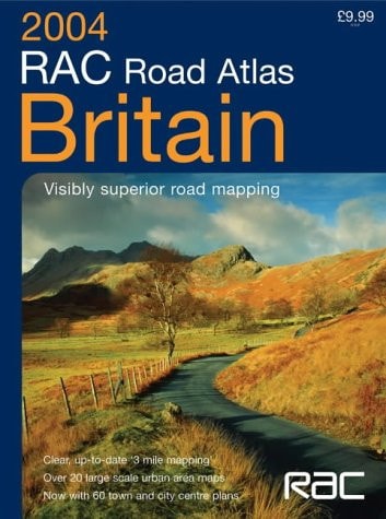
RAC Road Atlas Britain
0
0
As an Amazon Associate and affiliate partner, Menrva Books earns from qualifying purchases. Learn more
Author Description
This road atlas of Britain features mapping at various scales to aid route planning. It includes: park and ride locations for major cities and towns; route planning maps and limited access junction information; a main map section covering the whole of Britain; full London planning and detail section; 20 urban area maps at one inch to one mile; a comprehensive selection of town and city centre maps; a full index to place names and places of interest; and Ireland at 25 miles to one inch.
Menrva's Summary
THE THESIS
This road atlas serves as a comprehensive navigational tool designed to facilitate efficient route planning and spatial orientation across the United Kingdom. The RAC Motoring Services, a long-standing authority in British automotive support, compiles this data to provide motorists with reliable cartographic information. The volume integrates various scales of mapping, urban detail, and logistical data to assist drivers in navigating both rural highways and complex city centers.
THE SCOPE MAP
What You Will Find
- Main map section covering the entirety of Britain at varying scales.
- Detailed urban area maps at a scale of one inch to one mile.
- Specialized route planning maps and limited access junction information.
- Comprehensive index of place names and points of interest.
- Supplemental coverage of Ireland at a scale of 25 miles to one inch.
THE AUTHORITY PERSPECTIVE
The subject matter points to a practical, utilitarian reference work intended for frequent use by motorists and travelers. The inclusion of specific logistical data like park and ride locations suggests a focus on accessibility and ease of navigation within dense urban environments.
Page Count:
176
Publication Date:
2003-10-06
Publisher:
HarperCollins Publishers Limited
ISBN-10:
0007173407
ISBN-13:
9780007173402
Travel
Road maps
Reference
Geography
Maps
Transportation
Community Tags
Similar Books














