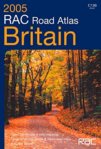
RAC Road Atlas Britain: 4 Miles to 1 Inch
0
0
As an Amazon Associate and affiliate partner, Menrva Books earns from qualifying purchases. Learn more
Author Description
Scale 4 miles to 1 inch A4 road atlas with clear, detailed road mapping. As well as the clear, easy to read main mapping there is also a range of large scale urban maps showing a selection of roads both numbered and named. Presented with a lie-flat spiral binding. MAIN FEATURES Detailed 4 mile to 1 inch road mapping of the whole of Great Britain, displaying clear easy to follow, colour classified roads on a white background. FEATURES * Clear, detailed road mapping at 4 miles to 1 inch * Distance chart in miles and kilometres * Route planning map of the British Isles * Road mapping of Ireland at 16 miles to 1 inch with city centre plans of Dublin and Belfast * Urban area maps at 1.25 miles to 1 inch and city centre street plans of: London Southampton and Portsmouth Cardiff and Newport Bristol Merseyside Manchester Newcastle upon Tyne Edinburgh Glasgow
Menrva's Summary
THE THESIS
This atlas provides a comprehensive and standardized navigational framework for motorists traveling across Great Britain and Ireland. The RAC Motoring Services team utilizes cartographic data to present a clear, legible guide designed for practical route planning and on-the-road reference. By organizing road networks into a consistent scale, the volume serves as a primary tool for spatial orientation and distance calculation for drivers.
THE SCOPE MAP
What You Will Find
- Detailed road mapping of Great Britain at a scale of 4 miles to 1 inch.
- Urban area maps at 1.25 miles to 1 inch for major cities including London, Manchester, and Glasgow.
- A comprehensive distance chart providing measurements in both miles and kilometres.
- Supplemental mapping of Ireland at 16 miles to 1 inch, including city centre plans for Dublin and Belfast.
THE AUTHORITY PERSPECTIVE
The technical layout of this atlas suggests a focus on high-contrast readability and functional utility for traditional navigation. Its design prioritizes clear road classification and ease of use, making it a standard reference for those requiring physical mapping tools in an era of increasing digital reliance.
Page Count:
168
Publication Date:
2004-11-25
Publisher:
COLLINS
ISBN-10:
0007184328
ISBN-13:
9780007184323
Travel
Great Britain
Reference
Maps
Community Tags
Similar Books