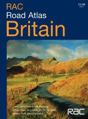
Road Atlas Britain & Ireland
0
0
As an Amazon Associate and affiliate partner, Menrva Books earns from qualifying purchases. Learn more
Author Description
1:550,000 9 miles to 1 inch. The compact A5 format of this atlas makes it the ideal travelling companion. It has clear, route planning mapping and fits neatly into the glovebox, pocket or bag. MAIN FEATURES This handy A5 road atlas is ideal for the bag or glovebox, it features fully up-to-date road mapping at 9 miles to 1 inch -- ideal for route planning. In addition to this Ireland is mapped at 16 miles to 1 inch and there are larger scale urban area maps of London and Birmingham. INCLUDES; Full index to place names; Attractive layer colouring; Roads colour classified; Places of tourist interest shown; Distances between destinations markedAREA OF COVERAGE Covers the whole of Britain at 9 miles to 1 inch and Ireland at 16 miles to 1 inchWHO THE PRODUCT IS OF INTEREST TO Ideal general purpose route planner in a handy format. Fits easily in the glovebox, briefcase, handbag or pocket, with popular lie-flat spiral binding.
Menrva's Summary
THE THESIS
This atlas provides a portable, high-utility navigational resource designed to facilitate efficient route planning across the United Kingdom and Ireland. The Royal Automobile Club utilizes standardized cartographic scales to present complex road networks in a compact, accessible format suitable for vehicular or pedestrian travel. By integrating urban detail with regional coverage, the publication serves as a practical tool for both long-distance navigation and local orientation.
THE SCOPE MAP
What You Will Find
- Detailed road mapping for Britain at a scale of 9 miles to 1 inch.
- Specialized mapping for Ireland at a scale of 16 miles to 1 inch.
- Large-scale urban inserts for London and Birmingham.
- Comprehensive index of place names and tourist points of interest.
- Color-coded road classification and distance markers between major destinations.
THE AUTHORITY PERSPECTIVE
The subject matter points to a highly functional, utilitarian reference text intended for frequent use by motorists and travelers. Its design emphasizes portability and clarity, prioritizing ease of access over exhaustive geographic detail.
Page Count:
79
Publication Date:
2004-01-01
Publisher:
Collins
ISBN-10:
0007182066
ISBN-13:
9780007182060
Travel
Maps
Road maps
Geography
Reference
Great Britain
Ireland
Community Tags
Similar Books














