London: The Photographic Atlas
0
0
As an Amazon Associate and affiliate partner, Menrva Books earns from qualifying purchases. Learn more
Author Description
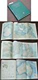
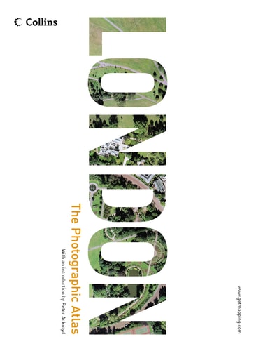
London: The Photographic Atlas combines stunning aerial photography with world-class cartography to create an unbeatable image of one of the world’s greatest cities. If you live in Greater London, you will be able to find your house—and perhaps even your car—and explore new neighborhoods with a clarity and immediacy that will astonish you. In this new edition, an all-new 16 page superscale section swoops even closer into major landmarks. Magnificent London sights and buildings, such as Buckingham Palace, the Tower of London, the Houses of Parliament, and Westminster Abbey are presented in a level of close-up coverage that is simply outstanding.
Menrva's Summary
THE THESIS
This atlas investigates the urban geography and architectural landscape of London through the integration of high-resolution aerial photography and precise cartographic data. The authors, utilizing the technical resources of Getmapping, provide a visual survey that bridges the gap between traditional map-reading and real-world observation. By layering detailed imagery over standard mapping, the work offers a comprehensive spatial analysis of the city's infrastructure, landmarks, and residential density.
THE SCOPE MAP
What You Will Find
- High-resolution aerial photographic coverage of the Greater London area.
- Integrated cartographic overlays for spatial navigation and identification.
- A dedicated 16-page superscale section focusing on major historical and political landmarks.
- Detailed visual documentation of iconic structures including Buckingham Palace and the Houses of Parliament.
THE AUTHORITY PERSPECTIVE
The work functions as a technical reference tool, providing a high-fidelity visual record of London's urban layout for researchers, residents, and urban planners. Its reliance on aerial data suggests a focus on precision and geographic utility rather than narrative or descriptive prose.
Page Count:
416
Publication Date:
2004-09-01
Publisher:
HarperCollins UK
ISBN-10:
0007184352
ISBN-13:
9780007184354
Travel
Photography
London
Cartography
Geography
Reference
Community Tags
Similar Books