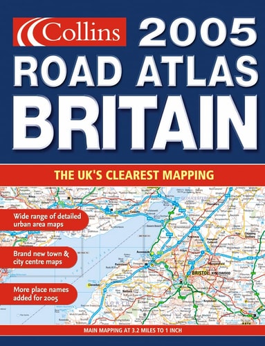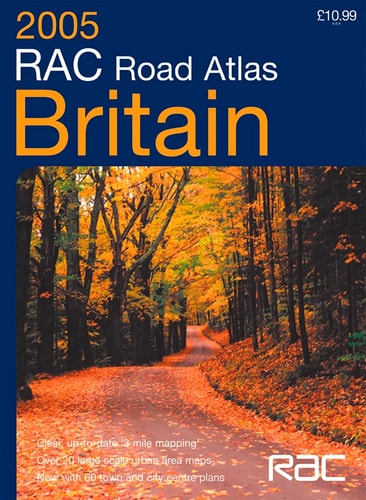
RAC Road Atlas Britain 3 Mile
0
0
As an Amazon Associate and affiliate partner, Menrva Books earns from qualifying purchases. Learn more
Author Description
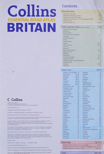
Floppy format road atlas with detailed 3 mile to 1 inch mapping. The atlas also contains a wide range of urban maps at 1 inch to 1 mile plus town and city centre street maps.MAIN FEATURESFloppy format RAC Road Atlas of Britain with mapping at various scales to aid route planning. With lie-flat spiral binding.INCLUDES Park & Ride locations shown for major cities and towns Route planning maps & limited access junction information Main map section covering the whole of Britain Full London planning and detail section 21 urban area maps at 1 inch to 1 mile Comprehensive selection of town and city centre maps Full index to place names and places of interest Ireland at 25 miles to 1 inchAREA OF COVERAGEThe whole of Britain with a route planning map of Ireland.WHO THE PRODUCT IS OF INTEREST TOAny driver of any vehicle who requires the latest information, the most complete coverage and the clearest detail in a road atlas.
Menrva's Summary
THE THESIS
This atlas provides a comprehensive navigational framework for motorists requiring precise, large-scale mapping of the British road network. Compiled by HarperCollins and RAC Motoring Services, the volume utilizes standardized cartographic data to facilitate route planning and urban navigation. It serves as a physical reference tool designed to assist drivers in identifying routes, junctions, and urban layouts across the United Kingdom.
THE SCOPE MAP
What You Will Find
- Detailed road mapping at a scale of 3 miles to 1 inch for the entirety of Britain.
- Specialized urban area maps at a scale of 1 inch to 1 mile.
- Integrated indices for place names, points of interest, and Park & Ride locations.
- Supplemental route planning maps including coverage of Ireland at 25 miles to 1 inch.
THE AUTHORITY PERSPECTIVE
The subject matter points to a practical, utility-focused reference text intended for consistent use in vehicle-based navigation. Its inclusion of spiral binding and varied map scales suggests a design prioritized for accessibility and ease of use during transit.
Page Count:
184
Publication Date:
2004-08-02
Publisher:
Harpercollins Pub Ltd
ISBN-10:
0007184344
ISBN-13:
9780007184347
Travel
Atlases
Transportation
Reference
Maps
Community Tags
Similar Books