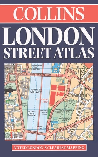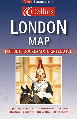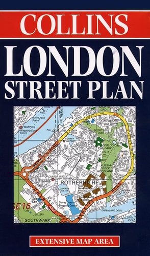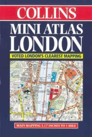
Collins London Street Atlas
0
0
As an Amazon Associate and affiliate partner, Menrva Books earns from qualifying purchases. Learn more
Author Description
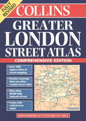
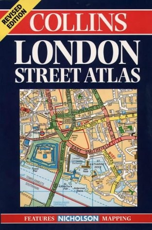
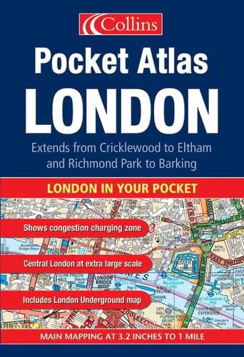
Maps in this atlas are exceptionally clear and easy to use with color coding for both the roads as well as locations such as shops, hospitals, hotels, schools, and more. They include postal district boundaries, car parks and police stations, tourist information centers, an Underground map on the rear cover, and a full index of street names. The area of coverage extends from Chiswick in the west to Barking in the east and Hackney in the north to Dulwich in the south. Compact and pocket-sized and showing a wealth of detail, the scale is 3.17 inches to one mile.
Menrva's Summary
THE THESIS
This atlas provides a comprehensive and highly legible cartographic resource for navigating the urban landscape of London. The publication serves as a practical tool for residents and visitors, utilizing a consistent color-coding system to distinguish between transit infrastructure, public services, and commercial landmarks. By focusing on a specific scale and geographic boundary, the work aims to maximize utility for pedestrian and vehicular navigation within the city's central and surrounding districts.
THE SCOPE MAP
What You Will Find
- Detailed street-level mapping covering the area from Chiswick to Barking and Hackney to Dulwich.
- A standardized color-coding system for roads, hospitals, schools, and tourist information centers.
- Supplemental transit information including an Underground map and postal district boundaries.
- A comprehensive index of street names for rapid location retrieval.
THE AUTHORITY PERSPECTIVE
The subject matter points to a highly functional, utilitarian reference guide designed for frequent use in urban environments. Its compact format and specific focus on London infrastructure suggest an emphasis on accessibility and clarity for the end user.
Page Count:
128
Publication Date:
2016-11-01
Publisher:
OUP Oxford
ISBN-10:
0007171560
ISBN-13:
9780007171569
Travel
London
Maps
Reference
Atlases
London Greater London
Community Tags
Similar Books