London Street Atlas Small
0
0
As an Amazon Associate and affiliate partner, Menrva Books earns from qualifying purchases. Learn more
Author Description
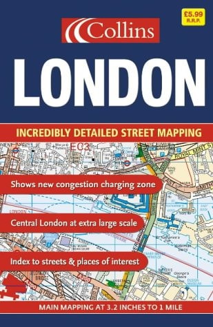
1:20,000 3.17 inches to 1 mile. 6.4 inches to 1 mile for central area (1:10,000). This handy little atlas features high quality Collins mapping. A huge amount of detail is contained within the mapping without compromising the clarity. Central London is mapped at a larger scale. MAIN FEATURES / Extremely clear, attractive, full colour mapping with enlarged central area / Full index to place and street names / Theatres and cinemas map, plus shopping map INCLUDES / Colour coded primary routes and public buildings / Street markets and pedestrian streets / Borough boundaries plus postal district boundaries and codes AREA OF COVERAGE Extends from Epping Forest in the north to Chessington in the south and from Heathrow in the west to Bexley in the east. WHO THE PRODUCT IS OF INTEREST TO This atlas, with its huge amount of detail and the clarity of the mapping is an essential purchase for all residents and businesses in and around London.
Menrva's Summary
THE THESIS
This atlas provides a comprehensive and highly detailed cartographic reference for navigating the complex urban landscape of London. HarperCollins utilizes professional cartographic standards to present a scaled, full-color representation of the city, balancing dense geographical information with visual clarity. The work serves as a practical tool for residents, commuters, and businesses requiring precise street-level data and administrative boundary information.
THE SCOPE MAP
What You Will Find
- Detailed mapping at 1:20,000 scale, with central London enlarged to 1:10,000 scale.
- Comprehensive index of street names and locations.
- Specialized thematic maps for theatres, cinemas, and shopping districts.
- Administrative data including borough boundaries, postal districts, and primary transit routes.
THE AUTHORITY PERSPECTIVE
The subject matter points to a highly functional, utilitarian reference tool designed for frequent navigation and logistical planning within the London metropolitan area. The inclusion of specific scale data and thematic overlays suggests a focus on precision and accessibility for both local residents and professional users.
Page Count:
376
Publication Date:
2005-04-21
Publisher:
Collins
ISBN-10:
0007191995
ISBN-13:
9780007191994
Travel
Geography
London
Maps
Reference
London Greater London
Community Tags
Similar Books














