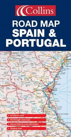
Spain and Portugal Road Map
0
0
As an Amazon Associate and affiliate partner, Menrva Books earns from qualifying purchases. Learn more
Author Description
Folded road and travel map in color. Scale 1:1,000,000. Distinguishes roads ranging from motorways to other roads. Legend includes toll roads, passes, international airports, car transport by rail, railways, funicular railways, car ferries, summits, volcanos, urban areas, national parks, places of interest. Includes inset map of Lisbon, Madrid, Barcelona, Sevilla and Valencia, distance chart, Spain/Portugal regions map, autopista tolls by route number, autopista tolls by destination and extensive index on reverse side of map.
Menrva's Summary
THE THESIS
This road map serves as a comprehensive navigational tool designed to facilitate travel and route planning across the Iberian Peninsula. The publication provides a detailed cartographic representation of Spain and Portugal, utilizing a 1:1,000,000 scale to assist motorists in identifying primary and secondary transit corridors. It integrates essential logistical data, including toll information and urban transit hubs, to support efficient navigation for travelers.
THE SCOPE MAP
What You Will Find
- Detailed road classification ranging from motorways to secondary routes
- Inset city maps for Lisbon, Madrid, Barcelona, Sevilla, and Valencia
- Comprehensive legend covering transport infrastructure, national parks, and geographical landmarks
- Distance charts and an extensive index for location lookup
THE AUTHORITY PERSPECTIVE
The technical nature of this map suggests a focus on practical utility for drivers and tourists navigating the complex road networks of Spain and Portugal. Its inclusion of specific toll data and urban insets indicates a design intended for high-density travel planning and reliable route identification.
Page Count:
2
Publication Date:
2005-01-01
Publisher:
Collins
ISBN-10:
0007197063
ISBN-13:
9780007197064
Travel
Spain
Travel Europe
Maps
Geography
Portugal
Reference
Community Tags
Similar Books














