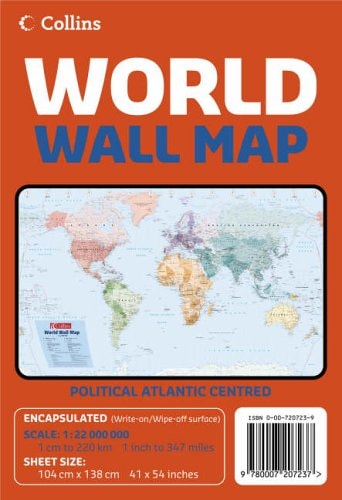
World Wall Map: Political Atlantic Centred
0
0
As an Amazon Associate and affiliate partner, Menrva Books earns from qualifying purchases. Learn more
Author Description
No description available.
Menrva's Summary
THE THESIS
This reference work provides a comprehensive, Atlantic-centered political representation of the global landscape to facilitate spatial understanding and geopolitical analysis. The map serves as a standard cartographic tool for students, educators, and professionals who require a clear, visual reference for international borders, sovereign states, and major geographic features. By centering the Atlantic Ocean, the document offers a specific perspective on the interconnectedness of the Western and Eastern Hemispheres.
THE SCOPE MAP
What You Will Find
- Detailed political boundaries for all recognized sovereign nations.
- Major urban centers and capital cities clearly demarcated.
- Bathymetric and topographic indicators for major ocean basins and landmasses.
- A standardized projection designed to minimize distortion across the Atlantic corridor.
THE AUTHORITY PERSPECTIVE
This map functions as a standard reference instrument, prioritizing clarity and geographic accuracy for general educational use. The Atlantic-centered orientation suggests a focus on the historical and economic ties between the Americas, Europe, and Africa.
Page Count:
0
Publication Date:
2005-08-01
Publisher:
Collins
ISBN-10:
0007207239
ISBN-13:
9780007207237
Maps
Atlases & Maps
Reference
Geography
Cartography
Community Tags
Similar Books