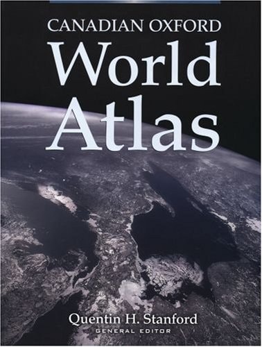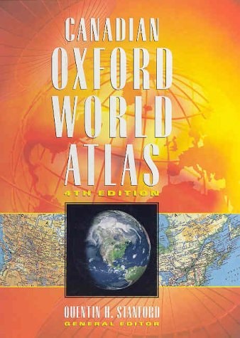
Canadian Oxford World Atlas
0
0
As an Amazon Associate and affiliate partner, Menrva Books earns from qualifying purchases. Learn more
Author Description
No description available.
Menrva's Summary
THE THESIS
This volume serves as a comprehensive cartographic reference designed to provide accurate geographical data and spatial context for the Canadian landscape and the broader global community. Quentin H. Stanford, a noted geographer and educator, compiles extensive map data to facilitate a deeper understanding of physical and political boundaries. The work utilizes a structured approach to present topographical features, demographic distributions, and international relations through visual representation. By organizing complex spatial information into a coherent format, the atlas functions as a primary resource for academic and professional inquiry.
THE SCOPE MAP
What You Will Find
- Detailed physical and political maps of Canada and the world
- Thematic maps covering climate, population density, and economic resources
- Standardized cartographic symbols and scale indicators
- Comprehensive index of geographical locations and place names
THE AUTHORITY PERSPECTIVE
Experts and educators frequently cite this atlas as a standard reference tool for Canadian geography due to its precise cartographic standards. Readers often note the clarity of the visual data and the utility of the index for locating specific regional information.
Page Count:
224
Publication Date:
2005-10-15
Publisher:
Oxford University Press
ISBN-10:
0195424492
ISBN-13:
9780195424492
Geography
Atlases & Maps
Cartography
Reference
Atlases
Community Tags
Similar Books