Ireland Road Map
0
0
As an Amazon Associate and affiliate partner, Menrva Books earns from qualifying purchases. Learn more
Author Description
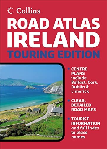
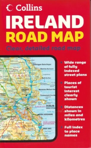
Product DescriptionFolded road and travel map in color. Scale 1:411,000. Distinguishes roads ranging from motorways to minor roads. Legend includes car ferry routes, passenger ferry routes, railways, international/domestic airports, summits, viewpoints, national parks, beaches, ancient monuments, battlefields, castles, gardens, golf courses, historic houses, museums/art galleries, nature reserves, preserved railways, racecourses, theme parks, youth hostels. Includes inset map of Belfast, Dublin, Bangor, Cork, Drogheda, Dun Laoghaire, Galway, Killarney, Limerick, Londonderry and Waterford, distance chart and extensive index.About the AuthorCollins maps are published by Harper Collins, one of the top publishing houses in the United Kingdom. Their line of travel maps and road atlases includes annually updated road maps of European countries, detailed continent maps with stunning covers featuring satellite imagery, recreational maps such as the Golf Map of Ireland, and country maps designed for independent travelers.
Menrva's Summary
THE THESIS
This map provides a comprehensive navigational framework for travelers traversing the road networks and cultural landmarks of Ireland. The Collins cartographic team utilizes standardized geographic data to present a clear, scalable representation of the island's infrastructure. By integrating transit routes with points of interest, the document serves as a practical tool for independent navigation and regional exploration.
THE SCOPE MAP
What You Will Find
- Detailed road classification ranging from motorways to minor thoroughfares at a 1:411,000 scale.
- Integrated transit infrastructure including car and passenger ferry routes, railways, and international airports.
- Extensive cultural and recreational markers such as ancient monuments, castles, golf courses, and nature reserves.
- Supplementary inset maps for major urban centers including Dublin, Belfast, Cork, and Galway.
THE AUTHORITY PERSPECTIVE
This map is regarded as a standard, utilitarian reference tool for motorists and tourists requiring offline navigation across the Irish landscape. The inclusion of an extensive index and distance chart suggests a focus on practical, high-density information for the independent traveler.
Page Count:
2
Publication Date:
2006-01-01
Publisher:
Collins
ISBN-10:
0007204221
ISBN-13:
9780007204229
Travel
General
Europe
Maps
Atlases & Maps
Reference
Ireland
Community Tags
Similar Books