London Pocket Atlas
0
0
As an Amazon Associate and affiliate partner, Menrva Books earns from qualifying purchases. Learn more
Author Description
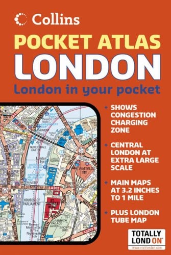
On the scale of 1:20,000 (3.17 inches to 1 mile) and Central London at 1:12,500 (5.1 inches to 1 mile), this is a compact and slim pocket sized atlas with exceptionally clear mapping showing a wealth of detail. Main features of this map include: handy pocket sized format; Central London at large scale; extensive area of coverage; full index to street names; and clear, easy to use full colour mapping. It includes: colour classified roads and buildings; postal district boundaries; car parks, hospitals and police stations; tourist information centres; and an underground map on rear cover. Area of coverage extends from Chiswick in the west to Barking in the east and Hackney in the north to Dulwich in the south. Who the product is aimed at? This neat, handy little atlas is an ideal purchase for resident and visitor alike.
Menrva's Summary
THE THESIS
This pocket atlas provides a high-precision, portable navigational tool designed to facilitate efficient movement through the complex urban landscape of London. Collins UK utilizes cartographic expertise to distill the city's vast infrastructure into a compact format, balancing large-scale detail for the central districts with comprehensive coverage of the surrounding boroughs. The work serves as a practical reference for both residents and visitors, prioritizing clarity and ease of use in its visual presentation.
THE SCOPE MAP
What You Will Find
- Detailed mapping at 1:20,000 scale for the greater area and 1:12,500 for Central London.
- A comprehensive index of street names for rapid location identification.
- Categorized visual data including color-coded roads, buildings, and essential public services like hospitals and police stations.
- Integrated transit information, specifically an underground map located on the rear cover.
THE AUTHORITY PERSPECTIVE
The technical specifications and focus on utility suggest a highly functional resource tailored for the practical needs of urban navigation. Its design prioritizes accessibility and density, making it a standard reference tool for those requiring reliable, offline spatial information.
Page Count:
128
Publication Date:
2006-04-03
Publisher:
Harper Collins
ISBN-10:
0007204264
ISBN-13:
9780007204267
Travel
Reference
London Greater London
Geography
Maps
London
Community Tags
Similar Books














