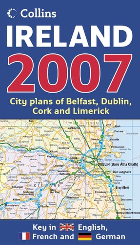
Map of Ireland
0
0
As an Amazon Associate and affiliate partner, Menrva Books earns from qualifying purchases. Learn more
Author Description
No description available.
Menrva's Summary
THE THESIS
This volume serves as a comprehensive cartographic reference designed to provide accurate spatial data and geographical context for the island of Ireland. The work functions as a navigational and informational tool, offering detailed visual representations of the country's topography, infrastructure, and regional divisions. It is intended for use by travelers, researchers, and those requiring a clear, structured overview of Irish geography.
THE SCOPE MAP
What You Will Find
- Detailed topographical and political mapping of the island of Ireland
- Comprehensive road networks and transit infrastructure data
- Regional and county-level administrative boundaries
- Index of major settlements, landmarks, and geographical features
THE AUTHORITY PERSPECTIVE
The subject matter points to a standard, utilitarian reference text intended for practical navigation and geographical study. Its scope suggests a focus on clarity and accessibility for general users seeking reliable spatial information regarding the Irish landscape.
Page Count:
0
Publication Date:
2006-10-07
Publisher:
COLLINS
ISBN-10:
0007225040
ISBN-13:
9780007225040
Travel
Maps
Reference
Ireland
Geography
Community Tags
Similar Books














