Northern Ireland Road Map
0
0
As an Amazon Associate and affiliate partner, Menrva Books earns from qualifying purchases. Learn more
Author Description
No description available.
Menrva's Summary
THE THESIS
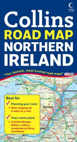
This publication serves as a comprehensive cartographic reference designed to facilitate navigation and spatial orientation across the region of Northern Ireland. The document provides detailed topographical and infrastructural data, including road networks, urban centers, and points of interest, intended for use by motorists and travelers. It utilizes standardized cartographic symbols and scale-based projections to ensure accuracy for navigation in both rural and metropolitan environments.
THE SCOPE MAP
What You Will Find
- Detailed road network mapping including primary, secondary, and local routes.
- Geographic markers for major towns, cities, and regional landmarks.
- Standardized cartographic legends for distance measurement and navigation.
- Administrative boundary delineations for counties and districts.
THE AUTHORITY PERSPECTIVE
This reference work provides a standard, utilitarian approach to regional navigation suitable for both casual travelers and those requiring precise spatial data. The inclusion of clear, scalable mapping makes it a functional tool for navigating the specific infrastructure of Northern Ireland.
Page Count:
0
Publication Date:
2008-01-07
Publisher:
Collins
ISBN-10:
0007254598
ISBN-13:
9780007254590
Travel
Europe
Atlases & Maps
Ireland
Reference
Great Britain
Maps
Northern Ireland
Community Tags
Similar Books