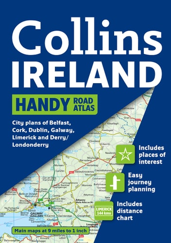
Collins Ireland Handy Road Atlas
0
0
As an Amazon Associate and affiliate partner, Menrva Books earns from qualifying purchases. Learn more
Author Description
Complete with information on places of tourist interest, this handy format route planning atlas in full color also features fully indexed town center plans of Belfast, Cork, Dublin, Galway, Limerick, and Londonderry. The whole of Ireland is mapped at 9 miles to 1 inch. The cartogaphy is beautifully designed with color classified roads and subtle layered height tinting, and new for this edition is the inclusion of a map showing the location of Blue Flag and Green Coast beaches. These have been evaluated for their water quality and safety, and, in the case of Blue Flag beaches, for their amenities such as life guards and restrooms. Also included are a list of tourist information centers; descriptions of places of interest; a full index of place names and places of interest; information on airports, ferries, and radio stations; and a mileage chart.
Menrva's Summary
THE THESIS
This atlas serves as a comprehensive navigational and tourist reference tool for travelers traversing the island of Ireland. Collins UK utilizes their established cartographic expertise to provide a detailed, color-coded road network map alongside essential logistical data for visitors. The volume integrates geographical navigation with practical tourism information to assist in route planning and site discovery.
THE SCOPE MAP
What You Will Find
- Full-color road mapping of Ireland at a scale of 9 miles to 1 inch.
- Indexed town center plans for Belfast, Cork, Dublin, Galway, Limerick, and Londonderry.
- Detailed listings for tourist information centers, airports, ferry terminals, and local radio stations.
- Specialized mapping of Blue Flag and Green Coast beaches, including safety and amenity evaluations.
THE AUTHORITY PERSPECTIVE
The content suggests a highly practical, utilitarian resource designed for physical navigation and trip preparation. The inclusion of specific environmental and safety data for coastal areas indicates a focus on providing a well-rounded guide for both transit and leisure travel.
Page Count:
64
Publication Date:
2010-02-01
Publisher:
HarperCollins UK
ISBN-10:
0007254601
ISBN-13:
9780007254606
Travel
Reference
Ireland maps
Ireland
Maps
Roads_europe
Geography
Community Tags
Similar Books














