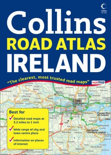
Comprehensive Road Atlas Ireland
0
0
As an Amazon Associate and affiliate partner, Menrva Books earns from qualifying purchases. Learn more
Author Description
Clear and detailed, this Ireland road atlas is presented as an A4 format with lie-flat spiral binding, featuring attractive layer coloring to show land height. Along with the road mapping there is also a wide range of detailed town and city center plans, all of which are fully indexed. Detailed 3.2 miles to 1 inch road maps are fully updated to show all the latest road changes. The main road mapping is packed with detail showing a comprehensive color-classified road network; clearly marked toll roads; layer coloring to show land height; tourist information centers and offices; and a wide range of tourist features plotted and categorized using symbols. The wide range of fully indexed town and city center maps include Bangor, Belfast, Cork, Drogheda, Dublin, Dun, Laoghaire, Galway, Killarney, Limerick, Londonderry (Derry), and Waterford. The area of coverage includes the whole of the Republic of Ireland plus Northern Ireland.
Menrva's Summary
THE THESIS
This atlas provides a comprehensive and updated navigational resource for motorists traveling throughout the Republic of Ireland and Northern Ireland. Collins UK, a long-standing publisher of cartographic materials, utilizes standardized mapping techniques to present complex geographical data in an accessible format. The work serves as a practical tool for route planning and on-the-road orientation, emphasizing clarity and detail for both urban and rural environments.
THE SCOPE MAP
What You Will Find
- Detailed road mapping at a scale of 3.2 miles to 1 inch.
- Comprehensive coverage of the entire island, including the Republic of Ireland and Northern Ireland.
- A collection of indexed town and city center plans for major urban hubs.
- Layer coloring to indicate land height and topography.
- Categorized symbols for tourist information centers and points of interest.
THE AUTHORITY PERSPECTIVE
The technical design of this atlas suggests a focus on utility for drivers requiring reliable, physical navigation aids in areas where digital connectivity may be inconsistent. Its inclusion of specific city center plans and clear road classification indicates a high level of density intended for practical, everyday use by travelers.
Page Count:
160
Publication Date:
2008-04-07
Publisher:
HarperCollins UK
ISBN-10:
0007258437
ISBN-13:
9780007258437
Travel
Roads_europe
Reference
Geography
Maps
Ireland maps
Ireland
Community Tags
Similar Books














