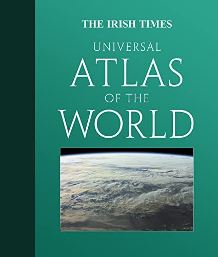
The Irish Times Universal Atlas of the World
0
0
As an Amazon Associate and affiliate partner, Menrva Books earns from qualifying purchases. Learn more
Author Description
The first ever world atlas to be published with The Irish Times. This atlas has a unique 32 page section at the front with mapping and geographical information for the whole of Ireland. A detailed world section follows with fascinating geographical information from every corner of the world. 190 pages of mapping provide an amazingly detailed view of the Ireland and the rest of the world with geographical information beside each map giving extra detail about each area. FULLY UP-TO-DATE DETAILED MAPPING The authoritative and accurate reference mapping reflects all recent political and geographical changes around the world. The comprehensive index illustrates the detail of this atlas. It contains over 50,000 place names which are fully cross-referenced with alternative and former names.M AIN FEATURES / Irish section with detailed maps of each of the provinces / Latest mapping, images and statistics on topical issues facing Ireland today from climate to tourism / Historical map section shows how the world looked over the last 150 years / The latest satellite images / Updated plans of 32 of the world's great cities are also included / Geographical reference section with flags, statistics and facts for all the world's countries / Comprehensive index to over 50,000 place names CHAPTER BREAKDOWN Ireland Satellite Images Historical mapping The World Today States and Territories World reference maps City plans Index
Menrva's Summary
THE THESIS
This atlas serves as a comprehensive geographical reference tool designed to provide detailed cartographic data for both Ireland and the global community. The work functions as a dual-purpose resource, combining a specialized focus on Irish provinces and national statistics with a broader, up-to-date survey of world political and geographical landscapes. By integrating satellite imagery, historical context, and a massive index of place names, the volume provides a structured framework for spatial analysis and reference.
THE SCOPE MAP
What You Will Find
- A dedicated 32-page section featuring detailed mapping and geographical data specific to Ireland.
- A comprehensive index containing over 50,000 cross-referenced place names.
- Historical map sequences illustrating global political changes over the last 150 years.
- Updated city plans for 32 major global urban centers.
- A reference section containing flags, country statistics, and topical geographical facts.
THE AUTHORITY PERSPECTIVE
The scope of this atlas suggests a focus on providing a high-density, accessible reference for both general readers and those seeking specific Irish geographical context. Its inclusion of historical mapping and satellite imagery indicates an intent to serve as a multi-layered educational resource rather than a simple collection of static maps.
Page Count:
0
Publication Date:
2008-01-01
Publisher:
HarperCollins Publishers
ISBN-10:
0007293186
ISBN-13:
9780007293186
Reference
Atlases
Geography
Ireland
Maps
Community Tags
Similar Books