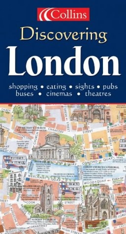
Collins London Pocket Map
0
0
As an Amazon Associate and affiliate partner, Menrva Books earns from qualifying purchases. Learn more
Author Description
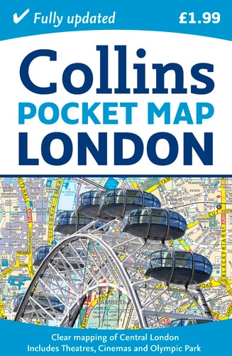
A handy little full color map of central London with a high level of detail, ideal for the pocket or bag Clear mapping of central London covers the most visited area of central London, ranging from Regent's Park in the north to Kennington in the south, and Kensington Gardens in the west to Tower Bridge in the east, at a scale of 5 inches to 1 mile. Inset maps of Olympic Park, West End shopping, and theaters are also included, as well as a Tube map, and the latest congestion zone boundary.
Menrva's Summary
THE THESIS
This pocket-sized cartographic resource provides a high-detail navigational tool for tourists and residents traversing the central districts of London. The publication, produced by Collins Bartholomew, leverages professional cartographic standards to distill complex urban geography into a portable, user-friendly format. It serves as a practical reference for identifying landmarks, transit routes, and specific zones within the city center.
THE SCOPE MAP
What You Will Find
- Detailed street-level mapping of central London at a scale of 5 inches to 1 mile.
- Inset maps covering specialized areas including the Olympic Park, West End shopping districts, and theater locations.
- A comprehensive London Underground (Tube) map for transit navigation.
- Clearly marked boundaries for the London congestion zone.
THE AUTHORITY PERSPECTIVE
This map is regarded as a functional, utilitarian tool for travelers requiring offline navigation in a dense urban environment. Its compact design and inclusion of specific transit data make it a standard reference for those navigating the central London area.
Page Count:
1
Publication Date:
2012-04-01
Publisher:
HarperCollins UK
ISBN-10:
0007452446
ISBN-13:
9780007452446
Travel
London
Europe
Travel Maps
Guidebooks
Reference
Great Britain
Atlases & Maps
Maps
Community Tags
Similar Books