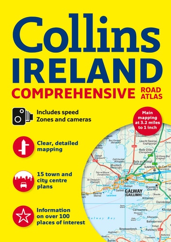
Ireland Comprehensive Road Atlas
0
0
As an Amazon Associate and affiliate partner, Menrva Books earns from qualifying purchases. Learn more
Author Description
A general purpose map for those who want a high level of mapping detail at a variety of scales, covering the whole of the Republic of Ireland plus Northern Ireland Clear, detailed road mapping of Ireland is presented in this road atlas featuring attractive layer coloring to show land height. The atlas contains a range of mapping scales, including a 9 miles to 1 inch route-planning map, main maps at 3.2 miles to 1 inch which are ideal for navigation, plus a wide selection of detailed town-center street plans. It includes the location of safety cameras and also speed enforcement zones, which highlight roads that have a high risk of accidents as identified by the Garda and the National Roads Authority. It also features Blue Flag and Green Coast beaches, which have been evaluated for their water quality and safety, and, in the case of Blue Flag beaches, for such amenities as lifeguards and toilets. The wide range of fully indexed town- and city-center maps cover Bangor, Belfast, Cork, Drogheda, Dublin, Dun Laoghaire, Galway, Kilkenny, Killarney, Limerick, Lisburn, Londonderry (Derry), Newry, Newtownabbey, and Waterford. There is also comprehensive guide information for visitors to Belfast, Cork, Dublin, and Limerick.
Menrva's Summary
THE THESIS
This atlas provides a comprehensive, multi-scale cartographic resource designed to facilitate navigation and route planning across the entire island of Ireland. The authors, Collins UK, utilize detailed topographical data and specialized road network information to assist travelers in traversing both the Republic of Ireland and Northern Ireland. The work serves as a practical navigational tool, integrating infrastructure data with safety-focused road information and regional points of interest.
THE SCOPE MAP
What You Will Find
- Multi-scale mapping including 9 miles to 1 inch route-planning and 3.2 miles to 1 inch navigation maps.
- Detailed street plans for major urban centers including Dublin, Belfast, Cork, and Galway.
- Safety-focused data including speed enforcement zones and high-risk accident areas identified by national authorities.
- Tourist-oriented information including Blue Flag and Green Coast beach locations and city-specific visitor guides.
THE AUTHORITY PERSPECTIVE
The subject matter points to a highly functional, utilitarian reference text intended for drivers and tourists requiring reliable physical navigation aids. The inclusion of specific safety data and urban street plans suggests a focus on practical, real-world application for those navigating the Irish road network.
Page Count:
160
Publication Date:
2012-01-01
Publisher:
Harpercollins Pub Ltd
ISBN-10:
0007455208
ISBN-13:
9780007455201
Travel
Reference
Roads_europe
Ireland maps
Geography
Maps
Ireland
Community Tags
Similar Books














