Collins Ireland: Handy Road Atlas
0
0
As an Amazon Associate and affiliate partner, Menrva Books earns from qualifying purchases. Learn more
Author Description
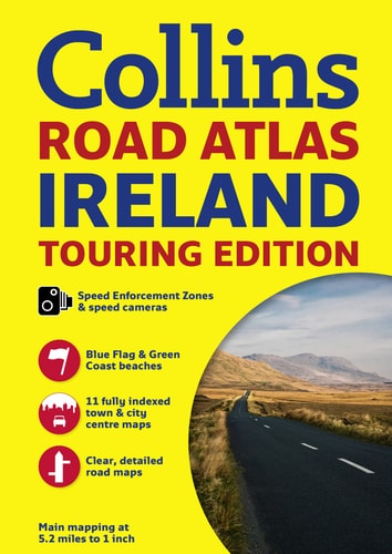
A wealth of tourist information, extremely clear and attractive mapping, and detailed town center plans make this an essential purchase for visitors With attractive road mapping of the whole of Ireland at a scale of 5.2 miles to 1 inch, these maps feature layer colors to show land height and have a wide range of places of tourist interest plotted. This revised edition includes fully indexed large scale town and city center street plans of Dublin, Belfast, Cork, Limerick, Londonderry (Derry), Galway, Bangor, Waterford, Dun Laoghaire, Drogheda, and Killarney. There is also a places of interest section with descriptions and photographs. Other features include a route planning map of the whole of Ireland at 15.8 miles to 1 inch; clearly marked locations of fixed speed cameras and speed enforcement zones; tourist information centers, complete with addresses and telephone numbers; a distance chart; and a county map. Road distances are marked in both miles and kilometers.
Menrva's Summary
THE THESIS
This atlas serves as a comprehensive navigational and tourist resource for travelers traversing the island of Ireland. Collins UK utilizes cartographic expertise to provide a dual-purpose tool that combines detailed road mapping with practical travel logistics. The volume integrates topographical data, urban street plans, and curated tourist information to assist in both route planning and on-the-ground navigation.
THE SCOPE MAP
What You Will Find
- Detailed road mapping of Ireland at a scale of 5.2 miles to 1 inch with elevation layer coloring.
- Indexed street plans for major urban centers including Dublin, Belfast, Cork, and Galway.
- Practical travel data such as fixed speed camera locations, distance charts, and tourist information center contact details.
- A route planning map of the entire island at a scale of 15.8 miles to 1 inch.
THE AUTHORITY PERSPECTIVE
The content suggests a highly functional, utilitarian design intended for tourists and motorists requiring reliable, physical navigation aids. Its focus on standardized cartography and indexed urban plans positions it as a practical reference for those prioritizing offline accessibility during travel.
Page Count:
64
Publication Date:
2014-06-01
Publisher:
HarperCollins UK
ISBN-10:
0007541295
ISBN-13:
9780007541294
Travel
Reference
Maps
Ireland maps
Geography
Ireland
Roads -
Community Tags
Similar Books














