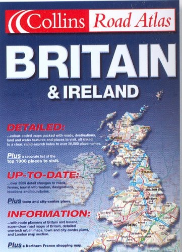
Collins Road Atlas: Britain and Ireland
0
0
As an Amazon Associate and affiliate partner, Menrva Books earns from qualifying purchases. Learn more
Author Description
No description available.
Menrva's Summary
THE THESIS
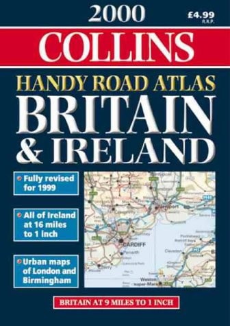
This atlas serves as a comprehensive navigational reference for road travel across Great Britain and Ireland as of the year 2001. The publication provides detailed cartographic data designed to assist motorists in route planning and spatial orientation. It utilizes standardized mapping conventions to represent the road network, urban centers, and regional topography of the British Isles during that specific period.
THE SCOPE MAP
What You Will Find
- Detailed road network maps covering England, Scotland, Wales, and Ireland
- Index of place names for efficient location searching
- Cartographic representations of major motorways, A-roads, and secondary routes
- Regional administrative boundaries and urban area layouts
THE AUTHORITY PERSPECTIVE
This volume functions as a static historical record of the road infrastructure and regional geography of the British Isles at the turn of the millennium. The content is intended for users requiring a physical reference tool for navigation or historical cartographic study.
Page Count:
0
Publication Date:
2001-01-01
Publisher:
William Collins & Sons Ltd
ISBN-10:
0007618476
ISBN-13:
9780007618477
Travel
Geography
Reference
Ireland
Maps
Ireland maps
Great Britain
Community Tags
Similar Books