RAC Road Atlas Britain and Ireland
0
0
As an Amazon Associate and affiliate partner, Menrva Books earns from qualifying purchases. Learn more
Author Description
No description available.
Menrva's Summary
THE THESIS
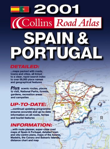
This atlas serves as a comprehensive navigational reference for motorists traveling across the road networks of Great Britain and Ireland. The Royal Automobile Club, a long-standing authority in British motoring, compiles this data to provide clear, scalable cartography for route planning and regional navigation. The volume utilizes standardized mapping conventions to assist drivers in identifying major highways, secondary roads, and urban centers.
THE SCOPE MAP
What You Will Find
- Detailed road network maps covering England, Scotland, Wales, Northern Ireland, and the Republic of Ireland
- Index of towns and cities for rapid location identification
- Cartographic symbols denoting motorways, primary routes, and scenic roads
- Distance charts and regional planning guides for long-distance travel
THE AUTHORITY PERSPECTIVE
The publication is regarded as a standard utility for physical navigation, valued for its consistent cartographic standards and reliable road data. Its utility remains high for those requiring offline, large-format spatial information for travel planning across the British Isles.
Page Count:
169
Publication Date:
2001-09-01
Publisher:
Collins Educational
ISBN-10:
0007637187
ISBN-13:
9780007637188
Travel
Maps
Atlases & Maps
Transportation
Reference
Europe
Geography
Ireland
Community Tags
Similar Books