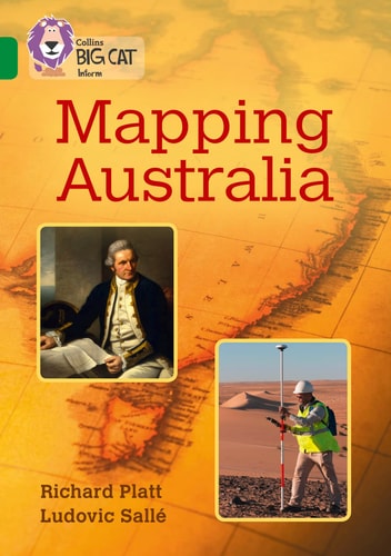
Collins Big Cat – Mapping Australia: Band 15/Emerald
0
0
As an Amazon Associate and affiliate partner, Menrva Books earns from qualifying purchases. Learn more
Author Description
Discover how people have mapped Australia – from songs that recorded what the landscape looked like, and early explorers’ drawings, to modern maps and satellite images.Emerald/Band 15 books provide a widening range of genres including science fiction and biography, prompting more ways to respond to texts.Text type: An information bookCurriculum links: geography, history
Menrva's Summary
THE THESIS
The evolution of mapping Australia is explored, from ancient oral traditions to modern satellite technology. This book examines the diverse methods used to chart the Australian continent, beginning with indigenous songlines that encoded geographical knowledge and continuing through the visual records of early explorers. It progresses to the detailed cartography developed over centuries and concludes with the precision offered by contemporary satellite imagery, illustrating humanity's enduring quest to understand and represent the land.
THE SCOPE MAP
- Indigenous songlines as early forms of geographical mapping.
- Explorers' drawings and early cartographic representations of Australia.
- The development of modern map-making techniques.
- The role of satellite imagery in contemporary geographical understanding.
- Connections to curriculum topics in geography and history.
THE AUTHORITY PERSPECTIVE
This information book is designed to align with curriculum requirements in geography and history, offering a structured approach to understanding Australia's cartographic development. The text type is explicitly identified as an information book, suggesting a focus on factual content and clear explanations suitable for educational purposes. The progression from ancient methods to modern technology indicates a comprehensive overview intended to provide students with a broad perspective on how the continent has been represented over time.
Page Count:
48
Publication Date:
2016-12-01
Publisher:
Collins
ISBN-10:
0008163901
ISBN-13:
9780008163907
Non-Fiction
History
Geography
Cartography
Australia
Australian History
Community Tags
Similar Books