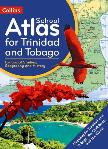
Collins School Atlas for Trinidad and Tobago
0
0
As an Amazon Associate and affiliate partner, Menrva Books earns from qualifying purchases. Learn more
Author Description
Prepared specifically to support social studies, map skills, early geography skills plus history and heritage topics in the National Standards Curriculum for grades 4 to 9.The atlas is fully illustrated and includes the most up to date reference and thematic mapping of Trinidad and Tobago, countries within the Caribbean Community and the broader Caribbean region. Maps are fully supported with illustrations, photographs and data. World maps cover international issues which have a bearing on Caribbean development.
Page Count:
112
Publication Date:
2020-09-01
Publisher:
Collins
ISBN-10:
0008361908
ISBN-13:
9780008361907
Geography
Community Tags
Similar Books