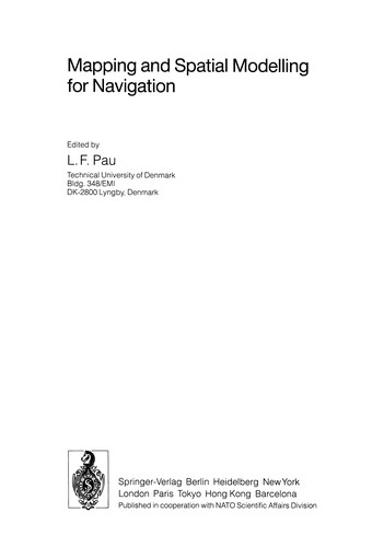
Mapping and Spatial Modelling for Navigation
0
0
As an Amazon Associate and affiliate partner, Menrva Books earns from qualifying purchases. Learn more
Author Description
This volume presents the proceedings of a NATO Advanced Research Workshop (ARW) held in Denmark in August 1989. It results from the activities of the NATO Special Programme on Sensory Systems for Robotic Control, running since 1983 under the auspices of the NATO Science Committee. The volume collects up-to-date interdisciplinary research findings of high practical value, about spatial- data structures, mapping systems, cartographic feature extraction from imagery, mobile robot navigation, and operational and research needs in mapping. As the demand for mapping products and services is growing very rapidly, but the transition to digital map production is still slow, the emphasis in this volume is on specific techniques for map production and their use in various navigation tasks. The key disciplines offering new contributions here are image processing, computational geometry, artificial intelligence, hypermedia, geography, sensor fusion, route planning, and computational environments.
Menrva's Summary
THE THESIS
This volume addresses the critical need for advanced mapping and spatial modeling techniques to enhance navigation capabilities, particularly for robotic systems. The book compiles research from a 1989 NATO Advanced Research Workshop, focusing on interdisciplinary findings relevant to spatial data structures, mapping systems, cartographic feature extraction from imagery, and mobile robot navigation. It emphasizes specific techniques for digital map production and their application in various navigation tasks, drawing contributions from fields such as image processing, computational geometry, artificial intelligence, and sensor fusion.
THE SCOPE MAP
- Spatial data structures and their applications in mapping.
- Techniques for cartographic feature extraction from imagery.
- Methodologies for mobile robot navigation.
- Operational and research needs in mapping.
- Specific techniques for digital map production.
- Contributions from image processing, computational geometry, AI, hypermedia, geography, sensor fusion, route planning, and computational environments.
THE AUTHORITY PERSPECTIVE
The proceedings of this 1989 NATO Advanced Research Workshop offer a collection of interdisciplinary research findings with high practical value for spatial modeling and navigation. The emphasis on specific techniques for map production and their use in navigation tasks reflects the growing demand for mapping products and services, alongside the slow transition to digital map production at the time. The compilation of expertise from diverse fields like image processing, computational geometry, and artificial intelligence suggests a comprehensive overview of the state-of-the-art in 1989.
Page Count:
357
Publication Date:
1990-01-01
ISBN-10:
3642842151
ISBN-13:
9783642842153
Science
Non-Fiction
Image Processing
Community Tags
Similar Books