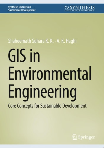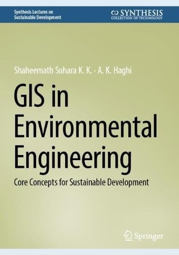
GIS in Environmental Engineering: Core Concepts for Sustainable Development
0
0
As an Amazon Associate and affiliate partner, Menrva Books earns from qualifying purchases. Learn more
Author Description
The book covers applications of Geographic Information System (GIS) and remote sensing in the fields of hydrology, water resource management, land use, rainfall variability, and groundwater mapping, to help professionals in the field identify change in patterns and guide them in making decisions that promote sustainable development.
Menrva's Summary
THE THESIS
This book investigates the integration of Geographic Information System (GIS) and remote sensing technologies within environmental engineering to foster sustainable development. It addresses key applications in hydrology, water resource management, land use analysis, rainfall variability assessment, and groundwater mapping, providing essential tools for professionals to identify environmental changes and inform decision-making processes for a sustainable future.
THE SCOPE MAP
- Applications of GIS and remote sensing in hydrology and water resource management.
- Analysis of land use patterns and their impact on the environment.
- Methods for assessing rainfall variability and its implications.
- Techniques for groundwater mapping and resource assessment.
- Guidance for professionals on making sustainable development decisions.
- Case studies demonstrating practical implementation of GIS in environmental engineering.
THE AUTHORITY PERSPECTIVE
The book is positioned as a practical guide for environmental engineering professionals, focusing on the application of GIS and remote sensing for sustainable development. Its scope covers critical areas such as water management and land use, suggesting a focus on actionable insights and decision support. The content is likely to appeal to practitioners seeking to leverage advanced spatial technologies for environmental problem-solving.
Page Count:
114
Publication Date:
2025-02-14
Publisher:
Springer Nature Switzerland
ISBN-10:
3031791258
ISBN-13:
9783031791253
Science & Technology
Non-Fiction
Hydrology
Remote sensing
Water Resource Management
Community Tags
Similar Books