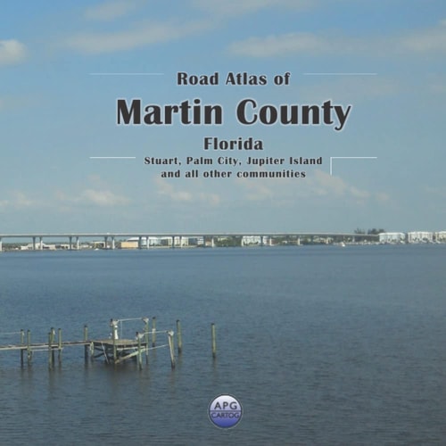
Road Atlas of Martin County, Florida: Stuart, Palm City, Jupiter Island, and all other communities
0
0
As an Amazon Associate and affiliate partner, Menrva Books earns from qualifying purchases. Learn more
Author Description
Tired of squinting at a phone screen? Need a detailed, printed map while you’re on the go? This atlas shows all of Martin County, Florida in an easily readable format, including all streets, roads, rivers, streams, lakes, railways, cities, towns, and localities. Each 8- by 8-inch page represents a 3- by 3-mile square, allowing for a great level of detail. The grid reference map at the beginning makes it easy to find your page quickly. Landmarks shown: Airports, cemeteries, natural features, schools, places of worship, hospitals, parks, post offices, springs, towers, and municipal/county boundaries. Keep exploring even when you lose your GPS signal! Get ready for your next adventure. The 8' x 8' size of this atlas makes it easy to handle while you're out on the road.
Menrva's Summary
THE THESIS
This atlas provides a comprehensive printed guide to Martin County, Florida, designed for easy navigation and detailed exploration. It covers all streets, roads, rivers, streams, lakes, railways, cities, towns, and localities within the county, offering a high level of detail with each 8- by 8-inch page representing a 3- by 3-mile square. A grid reference map aids in quick page location, and numerous landmarks are clearly indicated to assist travelers.
THE SCOPE MAP
- Detailed maps of all streets and roads in Martin County, Florida
- Coverage includes Stuart, Palm City, Jupiter Island, and all other communities
- Rivers, streams, lakes, and railways are clearly depicted
- Each 8
- by 8-inch page covers a 3
- by 3-mile area for enhanced detail
- Grid reference map for easy page location
- Landmarks shown include airports, cemeteries, natural features, schools, places of worship, hospitals, parks, post offices, springs, and towers
- Municipal and county boundaries are clearly marked
THE AUTHORITY PERSPECTIVE
This atlas is designed for users who prefer a physical map over digital navigation, offering a detailed and easily readable format for exploring Martin County, Florida. Its comprehensive street-level mapping and inclusion of numerous landmarks make it a practical tool for travelers and residents alike. The format is intended to be user-friendly, even when GPS signals are unavailable. The atlas aims to facilitate exploration and provide a reliable reference for navigating the region.
Page Count:
91
Publication Date:
2022-01-01
Publisher:
Independently published
ISBN-13:
9798444645642
Non-Fiction
Travel
Maps
Reference
Community Tags
Similar Books