Early Maps of South-East Asia
0
0
As an Amazon Associate and affiliate partner, Menrva Books earns from qualifying purchases. Learn more
Author Description
Pp. ix, 103, 17 black and white text-figures, 13 color plates. Publisher’s pictorial white laminated board, lettered in black and dark red on cover and spine, map endpapers, sm 8vo. From the series: Images of Asia. This volume details the early mapping and map makers of South-East Asia. No ownership marks.
Menrva's Summary
THE THESIS
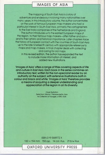
This volume investigates the historical development of cartography in South-East Asia and the influence of early map makers on the region's representation. R. T. Fell provides a concise examination of how European and local cartographic traditions intersected during the period of early exploration. The text utilizes a combination of historical analysis and visual evidence to document the evolution of regional geography. It serves as a focused study on the technical and artistic progression of map production in the area.
THE SCOPE MAP
What You Will Find
- Historical analysis of early map makers active in South-East Asia
- Examination of 17 black and white text-figures and 13 color plates
- Contextual history of regional cartographic development
- Overview of mapping techniques and stylistic evolution
THE AUTHORITY PERSPECTIVE
Experts and researchers in the field of historical geography identify this work as a useful introductory resource for understanding the visual history of the region. Readers frequently note the clarity of the provided illustrations and the accessibility of the historical context presented.
Page Count:
103
Publication Date:
1988-01-01
Publisher:
Oxford Univ Pr
ISBN-10:
0195888758
ISBN-13:
9780195888751
History
Reference
Southeast Asia
Geography
Early maps
Cartography