Atlas Ferraris
0
0
As an Amazon Associate and affiliate partner, Menrva Books earns from qualifying purchases. Learn more
Author Description
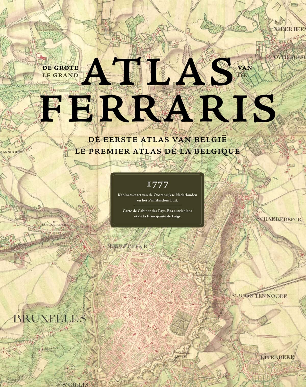
Cartography is one of the oldest arts known to man. Combining science, aesthetics, and technique, it builds on the premise that we can model reality in ways that communicate spatial information effectively. At the end of the 18th Century, the territory that is now Belgium was mapped by the Austrian Count De Ferraris, thus producing a unique historical document showing an area before the industrial revolution changed the landscape dramatically, it can be viewed as the one and only complete witness of geography during the "Ancien Régime". With 275 hand-drawn topographic maps on a very detailed scale (1:11520 reduced to 1:20000) this is the first land-covering and detailed map ever made in Western Europe at the same scale. Beautifully illustrated with fantastic attention to detail, this book is a must-have reference material for historians and geographers around the world. Text in FRENCH & DUTCH ILLUSTRATIONS 275 colour illustrations
Menrva's Summary
THE THESIS
The Atlas Ferraris represents a singular cartographic achievement, documenting a pivotal moment in European geography before the profound impact of the Industrial Revolution. This meticulously detailed work, featuring 275 hand-drawn topographic maps at a scale of 1:11520 (reduced to 1:20000), offers an unparalleled glimpse into the landscape of what is now Belgium during the Ancien Régime. The maps, created by Count De Ferraris, serve as the sole comprehensive record of Western European geography at this detailed scale during that era. The book's illustrations showcase exceptional attention to detail, making it an invaluable reference for historians and geographers.
THE SCOPE MAP
- The complete set of 275 hand-drawn topographic maps by Count De Ferraris.
- Detailed cartographic representation of Belgium before the Industrial Revolution.
- Spatial information communicated through a combination of science, aesthetics, and technique.
- Historical context of the Ancien Régime and its geographical state.
- Insights into early modern European map-making practices.
- Bilingual text in French and Dutch accompanying the maps.
- High-quality color illustrations with meticulous attention to detail.
THE AUTHORITY PERSPECTIVE
The Atlas Ferraris is presented as a must-have reference for historians and geographers, highlighting its significance as a unique historical document. The description emphasizes the book's detailed illustrations and the historical importance of the maps it contains. The text's bilingual nature (French & Dutch) and the sheer volume of detailed maps suggest a comprehensive and scholarly presentation of the subject matter. This work is positioned as an essential resource for understanding pre-industrial European geography.
Page Count:
600
Publication Date:
2009-10-20
Publisher:
Lannoo Publishers/Racine
ISBN-10:
9020981382
ISBN-13:
9789020981384
History
Non-Fiction
Art History
Cartography
Geography
Community Tags
Similar Books