The Oxford-Hammond Exploration Atlas of the World
0
0
As an Amazon Associate and affiliate partner, Menrva Books earns from qualifying purchases. Learn more
Author Description
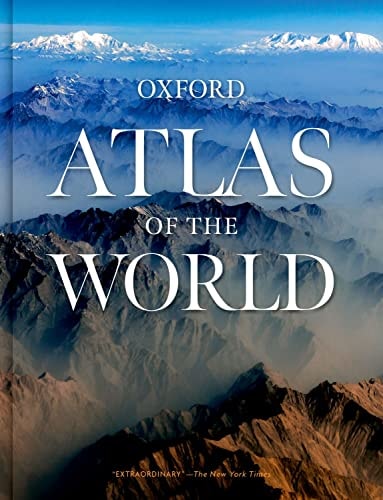
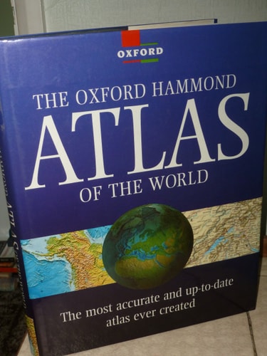
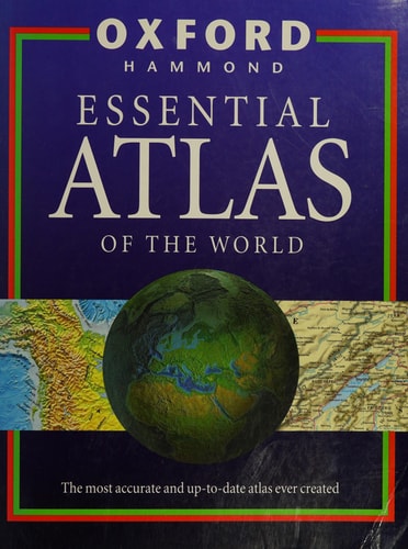
Derived from "The Oxford Hammond Essential Atlas of the World", this reference features political maps showing each nation in a distinct colour for easy recognition, plus continental and Terrascape maps showing the Earth's contours in vivid detail. The atlas is based on the latest geographical, political and statistical information, and uses a new projection to show the continents more accurately.
Menrva's Summary
THE THESIS
This atlas investigates the challenge of accurately representing global geography through updated cartographic projections and statistical data. The Oxford University Press utilizes contemporary geographical and political research to provide a comprehensive visual reference of the Earth. By integrating political boundaries with physical contours, the work offers a structured framework for understanding the spatial distribution of nations and natural terrain.
THE SCOPE MAP
What You Will Find
- Political maps featuring distinct color-coding for national identification
- Continental and Terrascape maps illustrating Earth's physical contours
- Updated statistical and geographical data sets
- A specialized projection system designed for improved continental accuracy
THE AUTHORITY PERSPECTIVE
Experts recognize this volume as a standard reference tool for students and general researchers seeking clear, accessible cartographic information. Readers frequently note the clarity of the color-coded political maps and the utility of the updated projection methods for educational purposes.
Page Count:
72
Publication Date:
1995-08-03
Publisher:
Oxford University Press
ISBN-10:
0198692854
ISBN-13:
9780198692850
Non-Fiction
Atlases & Maps
Reference
Atlases
Maps
Geography
Community Tags
Similar Books