The Oxford Map Companion: One Hundred Sources in World History
0
0
As an Amazon Associate and affiliate partner, Menrva Books earns from qualifying purchases. Learn more
Author Description
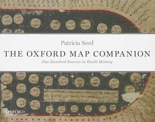
Bringing together a rich and diverse collection of 100 historical maps from the Paleolithic to the present, The Oxford Map Companion: One Hundred Sources in World History illustrates how peoples and cultures throughout the human past have imagined their worlds. The collection--which includes many never-before published maps--spans a broad spectrum of human time and cultural diversity. It also features a wide range of map types from every continent, including stick charts, porcelain maps, maps created on sealskin, celestial maps, powder-horn and buckskin maps, silk "escape maps," radio maps, ordnance surveys, subway maps, and maps of the Internet.Combining cutting-edge scholarship and accessibility, renowned scholar and award-wining author Patricia Seed presents new and innovative ways of looking at maps. Organized both chronologically and cartographically, nearly every historical map is accompanied by a locator map and/or schematic diagram--personally crafted by the author--that helps the reader to see the map in its geographical context and to grasp the meaning of its symbols, labels, and overall layout. A master chronology of world history in the front of the book and timelines at the beginning of each Part set the history of mapping in a global framework. Finally, every map includes a corresponding QR code that will allow readers to instantly explore a Google Earth outline of the area covered in the historical map on their smartphones.Visit the companion website at http://www.mapcompanion.org/.
Menrva's Summary
THE THESIS
How have diverse human cultures across history conceptualized and represented their physical world through the medium of cartography? Professor Patricia Seed, a recognized scholar in the field, compiles a comprehensive collection of one hundred historical maps to examine the evolution of spatial understanding. By integrating primary source analysis with modern digital tools, the work argues that maps serve as vital cultural artifacts that reflect the specific values, technologies, and worldviews of their creators. The text provides a structured framework for interpreting these documents, moving beyond simple geography to explore the symbolic and social functions of mapping throughout human history.
THE SCOPE MAP
What You Will Find
- A curated collection of 100 historical maps spanning from the Paleolithic era to the modern digital age.
- A diverse range of cartographic formats including stick charts, porcelain maps, sealskin maps, and Internet visualizations.
- Author-created locator maps and schematic diagrams designed to clarify the symbols and layouts of the primary sources.
- Integrated QR codes that link historical maps to contemporary Google Earth representations for comparative analysis.
THE AUTHORITY PERSPECTIVE
Scholars and educators frequently identify this text as a valuable resource for integrating visual literacy into the study of world history. Experts highlight the author's innovative use of digital integration and schematic diagrams as a practical approach for making complex cartographic history accessible to students and researchers alike.
Page Count:
272
Publication Date:
2013-08-13
Publisher:
Oxford University Press
ISBN-10:
0199765634
ISBN-13:
9780199765638
History
Geography
Reference
Historical geography
World history
Cartography
Community Tags
Similar Books