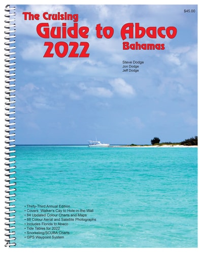
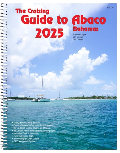
The Cruising Guide to Abaco, Bahamas: 2026
0
0
As an Amazon Associate and affiliate partner, Menrva Books earns from qualifying purchases. Learn more
Author Description
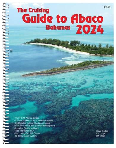
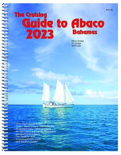
This 2026 edition is the result of survey runs on the Sea of Abaco and at harbour entrances as well as aerial flights and photographs which resulted in up-dated charts and text. This is the only regularly updated guide to Abaco. The accurate easy to read colour charts are entirely based on original hydrographic research and over 50 years of local knowledge. They are the only charts which show locations of submerged power lines and "do not anchor zones" in the central part of Abaco. The book also includes colour aerial photographs of all principal harbours and a proven system of GPS waypoints. Its organization makes it easy to use—it is the clear choice of most cruisers and the best selling guide to Abaco. Includes tide tables for 2026, detailed snorkeling/diving charts, business directories for Abaco, articles on fishing, a lunar calendar for 2026, a guide to the dolphins and whales of Abaco, a brief history of Abaco, and helpful local advertising. 8½" x 11" 176 pp. ISBN 978-0-932265661
Menrva's Summary
THE THESIS
This guide provides updated navigational charts and essential local knowledge for cruising the waters of Abaco, Bahamas.
THE SCOPE MAP
- Up-to-date color charts based on original hydrographic research and local knowledge.
- Identification of submerged power lines and "do not anchor zones".
- Color aerial photographs of principal harbors.
- A system of GPS waypoints.
- Tide tables for 2026.
- Detailed snorkeling/diving charts.
- Business directories, fishing articles, and a guide to local marine life.
- A brief history of Abaco.
THE AUTHORITY PERSPECTIVE
This regularly updated guide is recognized as the definitive resource for navigating Abaco's waters, based on extensive hydrographic research and decades of local expertise. Its detailed color charts, aerial photographs, and practical information, including unique data on submerged hazards and anchoring restrictions, make it the preferred choice for cruisers. The inclusion of specific features like GPS waypoints, tide tables, and local directories further solidifies its utility for planning and executing a safe and enjoyable trip.
Page Count:
176
Publication Date:
2025-11-11
Publisher:
White Sound Press
ISBN-10:
0932265669
ISBN-13:
9780932265661
Non-Fiction
Travel
Bahamas
Boating
Community Tags
Similar Books