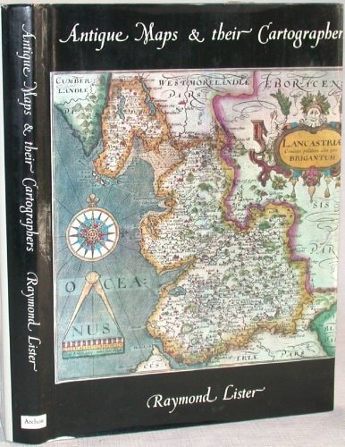
Antique Maps and Their Cartographers
0
0
As an Amazon Associate and affiliate partner, Menrva Books earns from qualifying purchases. Learn more
Author Description
British edition of the text released both in the US and the UK during the same year. The text surveys the early history of maps and the genesis of modern cartography before proceeding into individual chapters devoted to maps of specific countries or geographical regions. Each chapter is illustrated with a portion of the 63 total leaves of plates in black and white, and has its own short bibliography. Paper dust jacket price clipped. Slightly rubbed. 128 pages + 63 leaves of plates in black and white. cloth, dust jacket. large 8vo..
Menrva's Summary
THE THESIS
This text investigates the historical evolution of mapmaking and the foundational contributions of early cartographers to the development of modern geographical representation. Raymond Lister provides a structured survey that traces the origins of map production, moving from early conceptualizations to the specialized techniques that defined regional mapping. By organizing the material into distinct geographical chapters, the author offers a systematic framework for understanding how different cultures and eras approached the documentation of space.
THE SCOPE MAP
What You Will Find
- A chronological survey of the early history of maps and the genesis of modern cartography.
- Individual chapters dedicated to the mapping traditions of specific countries and geographical regions.
- Sixty-three black and white plates illustrating historical map examples.
- Short, specialized bibliographies provided for each chapter to facilitate further research.
THE AUTHORITY PERSPECTIVE
The subject matter points to a specialized, academic-leaning text intended for historians of cartography and collectors of antique maps. Its structured, regional approach suggests a reference-oriented utility for those seeking a foundational overview of the field.
Page Count:
128
Publication Date:
1970-01-01
Publisher:
Archon Books
ISBN-10:
0208010416
ISBN-13:
9780208010414
Non-Fiction
History
Early maps
Cartography history
Geography
Cartography
Reference
Community Tags
Similar Books