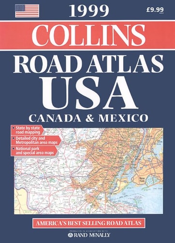
Road Atlas: USA, Canada, Mexico 1999
0
0
As an Amazon Associate and affiliate partner, Menrva Books earns from qualifying purchases. Learn more
Author Description
Cover Title. Produced In Association With Rand Mcnally. Includes Indexes And Mileage Charts.
Menrva's Summary
THE THESIS
This volume serves as a comprehensive navigational reference designed to facilitate travel across the North American continent. The publication, produced in association with Rand McNally, provides a structured cartographic framework for motorists navigating the road networks of the United States, Canada, and Mexico. It organizes geographical data into a standardized format to assist in route planning and distance estimation.
THE SCOPE MAP
What You Will Find
- Detailed road maps covering the United States, Canada, and Mexico
- Comprehensive indexes for locating cities, towns, and points of interest
- Mileage charts for calculating travel distances between major hubs
- Standardized cartographic symbols and legend keys for map interpretation
THE AUTHORITY PERSPECTIVE
This atlas functions as a standard reference tool for pre-GPS era navigation, emphasizing physical cartography and distance metrics. The inclusion of Rand McNally data suggests a focus on established highway systems and reliable transit routes for the 1999 period.
Page Count:
136
Publication Date:
1998-09-09
Publisher:
COLLINS
ISBN-10:
000448620X
ISBN-13:
9780004486208
Travel
General
Canada
Reference
Mexico
North America
Atlases & Maps
Maps
Community Tags
Similar Books