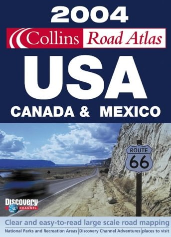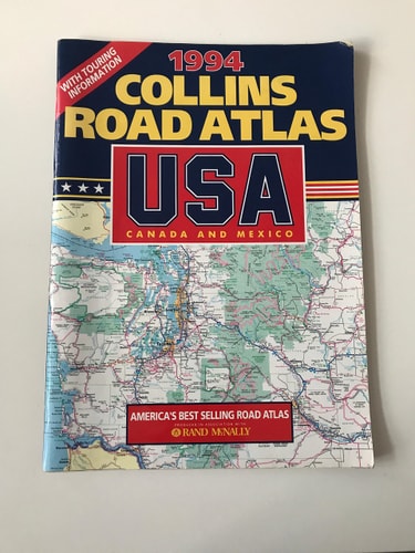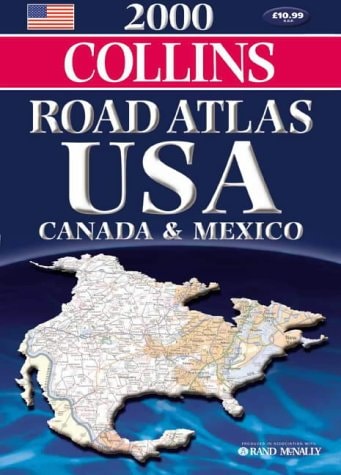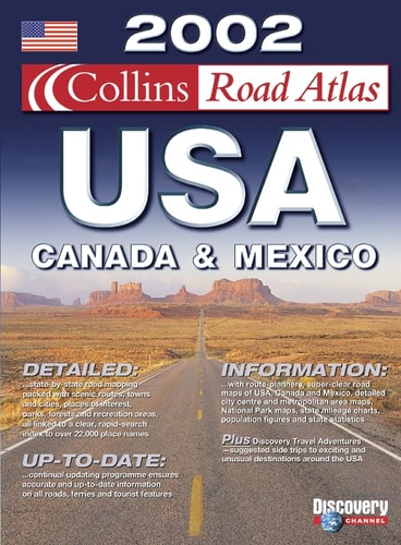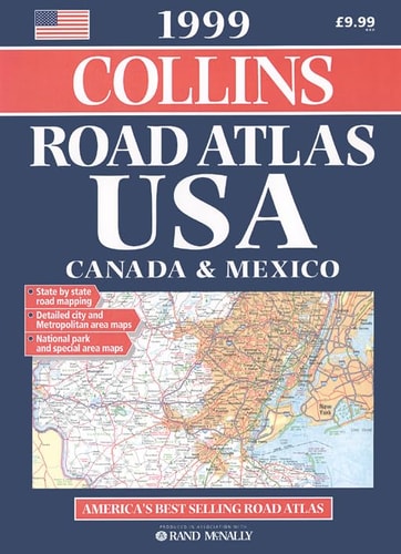
Collins Road Atlas: USA, Canada and Mexico
0
0
As an Amazon Associate and affiliate partner, Menrva Books earns from qualifying purchases. Learn more
Author Description
This is a revised UK edition of the "Rand McNally Atlas" - America's best-selling road atlas. It includes state-by-state road coverage, metropolitan area maps and city plans. It also contains additional touring information, a road sign identification chart and National Park maps.
Menrva's Summary
THE THESIS
This atlas serves as a comprehensive navigational reference for motorists traveling across the United States, Canada, and Mexico. The publication compiles detailed cartographic data to assist drivers in route planning, metropolitan navigation, and regional exploration. By integrating state-level mapping with specific urban plans and park guides, the volume functions as a practical tool for long-distance transit and tourism.
THE SCOPE MAP
What You Will Find
- State-by-state road network coverage for the United States, Canada, and Mexico
- Detailed metropolitan area maps and specific city center plans
- Specialized cartography for National Park locations
- Reference charts for regional road sign identification
THE AUTHORITY PERSPECTIVE
This atlas is regarded as a functional, utilitarian resource for pre-GPS era navigation and regional planning. The inclusion of standardized road sign identification and park maps suggests a focus on the needs of the recreational traveler and long-haul motorist.
Page Count:
128
Publication Date:
1995-12-03
Publisher:
HarperCollins Publishers
ISBN-10:
0004482298
ISBN-13:
9780004482293
Travel
Mexico
Reference
Canada
North America
Atlases & Maps
General
Geography
Maps
Community Tags
Similar Books