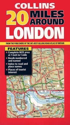
20 Miles Around London
0
0
As an Amazon Associate and affiliate partner, Menrva Books earns from qualifying purchases. Learn more
Author Description
No description available.
Menrva's Summary
THE THESIS
This reference work provides a comprehensive cartographic survey of the geographical area extending twenty miles from the center of London. The publication serves as a practical tool for navigation and regional planning, utilizing detailed mapping data to delineate roads, landmarks, and administrative boundaries within the specified radius. It functions as a standard reference for travelers, historians, and researchers interested in the spatial development of the London metropolitan periphery.
THE SCOPE MAP
What You Will Find
- Detailed cartographic representations of the Greater London area and its immediate surroundings.
- Road networks, transit routes, and key infrastructure points within a twenty-mile radius.
- Topographical and administrative boundary data relevant to the late 20th-century landscape.
- Indexing systems for identifying specific locations, towns, and districts within the coverage area.
THE AUTHORITY PERSPECTIVE
The work functions as a standard, utilitarian cartographic resource typical of the Collins map series, providing clear and accessible spatial data for the specified region. Its utility is primarily directed toward those requiring a fixed, printed reference for regional navigation and geographical study.
Page Count:
0
Publication Date:
1997-01-01
Publisher:
Collins, an imprint of HarperCollins Publishers
ISBN-10:
0004485963
ISBN-13:
9780004485966
Travel
Reference
Maps
Atlases & Maps
London Greater London
London
Geography
England
Community Tags
Similar Books














