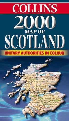
Map of Scotland
0
0
As an Amazon Associate and affiliate partner, Menrva Books earns from qualifying purchases. Learn more
Author Description
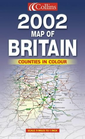
9 miles to 1 inch 1:570,000 approx Full colour map of Scotland with road network and administrative areas clearly shown.MAIN FEATURES Administrative areas shown in colour 7 city/town centre plans Index to place names Mapping at 9 miles to 1 inchINCLUDES Mileage chart Key in English, French and GermanAREA OF COVERAGE Covers the whole of Scotland and part of Northern England on a one sided map.WHO THE PRODUCT IS AIMED AT This is a general purpose map but with a particular emphasis on political features. It can be used as a reference map and a route planning map.
Menrva's Summary
THE THESIS
This map serves as a comprehensive cartographic reference tool designed to provide clear administrative and navigational data for the entirety of Scotland and northern England. The publication, produced by established cartographic firms, utilizes a scale of 1:570,000 to balance regional overview with specific detail. It functions as both a political reference and a practical route-planning instrument for travelers and researchers alike.
THE SCOPE MAP
What You Will Find
- Detailed road network and administrative boundary mapping
- Seven city and town center inset plans
- Comprehensive index of place names
- Multilingual key featuring English, French, and German
- Mileage chart for distance estimation
THE AUTHORITY PERSPECTIVE
The technical nature of this publication suggests a focus on utility and clarity for general navigation and administrative reference. Its inclusion of multilingual keys and specific urban insets indicates an intent to serve a broad audience of both domestic and international users.
Page Count:
0
Publication Date:
1900-01-01
Publisher:
Collins
ISBN-10:
0004488660
ISBN-13:
9780004488660
Travel
Scotland
Geography
Cartography
Maps
Reference
British Isles
Community Tags
Similar Books