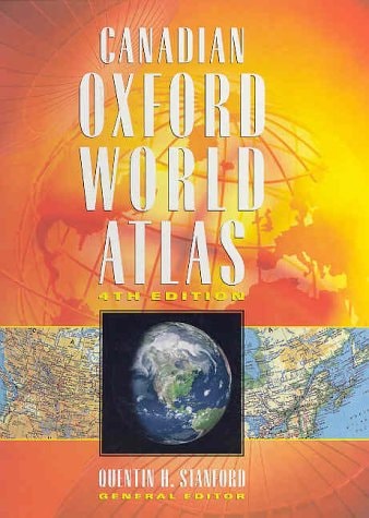
Canadian Oxford World Atlas
0
0
As an Amazon Associate and affiliate partner, Menrva Books earns from qualifying purchases. Learn more
Author Description
This fourth edition of the Canadian Oxford World Atlas is completely up-to-date, based on statistics from the 1996 Census. New developments in cartography have resulted in many maps being re-drawn to reflect greater accuracy and more vibrant colours. Whilst most of the standard maps that proved popular in earlier editions have been retained such as the provincial maps of every province of Canada, some exciting new maps have been added and of course, any changes to country names and boundaries have been included. New to this edition: Double-page time zone map, many new satellite images covering every region of Canada as well as many parts of the world, new Native Peoples map, new maps on territorial evolution and arctic, western and eastern exploration, a new map of the Western USA, more detailed maps of the oceans and ocean currents, earth and space maps, new Canadian trade map, new world maps featuring cultural economic systems, international alliances, religion and language.
Menrva's Summary
THE THESIS
This atlas serves as a comprehensive cartographic reference designed to provide accurate, up-to-date geographical and statistical data for students and researchers. Quentin H. Stanford utilizes census data and modern cartographic techniques to present a visual representation of global and Canadian landscapes. The work functions as a primary resource for understanding territorial, economic, and cultural shifts within Canada and across the international stage.
THE SCOPE MAP
What You Will Find
- Detailed provincial maps covering every region of Canada.
- Satellite imagery of Canadian regions and global territories.
- Thematic maps detailing cultural, economic, religious, and linguistic systems.
- Historical maps illustrating territorial evolution and exploration patterns.
THE AUTHORITY PERSPECTIVE
Experts recognize this volume as a standard educational tool for its clear presentation of complex geographical data. Readers frequently note the utility of the updated satellite imagery and thematic maps in providing a holistic view of global systems.
Page Count:
220
Publication Date:
1998-01-01
Publisher:
Oxford University Press
ISBN-10:
0195413199
ISBN-13:
9780195413199
Atlases
Geography
Canada
Cartography
Reference
Subjects
Community Tags
Other Editions(3)

Similar Books




![The Remoter rural areas of Britain: [a symposium held at the University of Newcastle upon Tyne, 1970];](https://storage.googleapis.com/menrva_img_storage/covers/9780050024713.jpg)