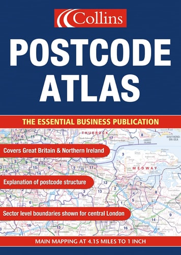
Map of Britain
0
0
As an Amazon Associate and affiliate partner, Menrva Books earns from qualifying purchases. Learn more
Author Description
No description available.
Menrva's Summary
THE THESIS
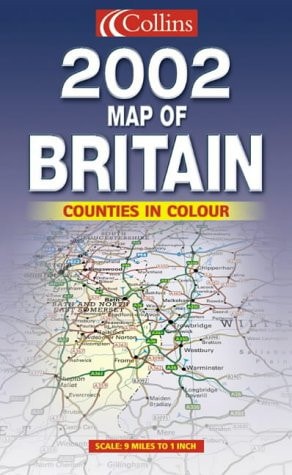
This volume serves as a comprehensive cartographic reference designed to provide accurate spatial data and topographical information regarding the United Kingdom. The work functions as a navigational and educational tool, utilizing standardized mapping conventions to delineate regional boundaries, infrastructure, and physical terrain. It provides a structured visual framework for understanding the geographical layout of Britain, catering to both academic and practical utility.
THE SCOPE MAP
What You Will Find
- Detailed topographical representations of the British landscape
- Regional and administrative boundary delineations
- Infrastructure networks including primary road systems and urban centers
- Cartographic legends and scale indicators for spatial analysis
THE AUTHORITY PERSPECTIVE
This reference work is regarded as a standard cartographic resource for general geographical inquiry. The framing suggests a focus on clarity and precision, intended for users seeking reliable spatial orientation within the British Isles.
Page Count:
0
Publication Date:
2001-01-01
Publisher:
Collins
ISBN-10:
0007114095
ISBN-13:
9780007114092
Travel
Atlases & Maps
Cartography
Reference
Great Britain
United Kingdom
Geography
British Isles
Community Tags
Similar Books