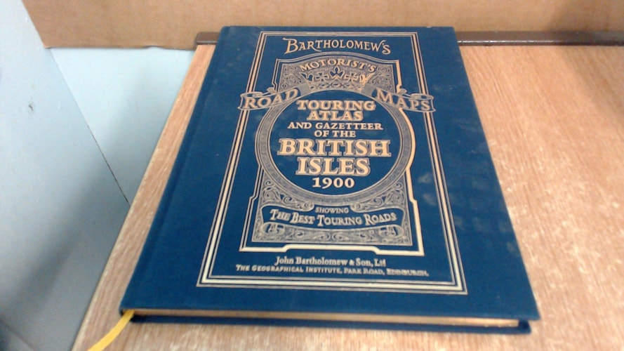
Bartholomew's Touring Atlas and Gazetteer of the British Isles
0
0
As an Amazon Associate and affiliate partner, Menrva Books earns from qualifying purchases. Learn more
Author Description
First reproduced edition of an original Bartholomew Touring Road Atlas dated 1900. MAIN FEATURES Original 1900 mapping showing roads prior to their classification, railways with railway stations, ground heights, urban areas and other settlements. INCLUDES * Index/gazetteer of all the main places in the British Isles showing location, nearest town, population etc. * An introduction to the state of British roads prior to 1900 by T.W. Wilkinson dated 1900. * Period advertisements. AREA OF COVERAGE The whole of England, Ireland, Scotland and Wales. WHO THE PRODUCT IS AIMED AT * Anybody interested in the history and development of the British road network. * Anyone researching the roads and settlements as they existed 100 years ago. * Anybody looking for a superb gift of nostalgic or historic significance.
Menrva's Summary
THE THESIS
This volume investigates the state of the British road network and settlement patterns at the turn of the 20th century through the reproduction of a primary cartographic source. John C. Bartholomew, a renowned name in historical cartography, provides a snapshot of the United Kingdom's infrastructure before the formal classification of modern road systems. The work utilizes original 1900 mapping data to document the physical landscape, railway connectivity, and urban development of the era.
THE SCOPE MAP
What You Will Find
- Detailed 1900-era cartography covering England, Ireland, Scotland, and Wales.
- A comprehensive gazetteer listing locations, proximity to towns, and historical population data.
- An analytical introduction by T.W. Wilkinson detailing the evolution of British roads.
- Primary source material including period-accurate advertisements and railway station locations.
THE AUTHORITY PERSPECTIVE
The subject matter points to a specialized reference text intended for historians, genealogists, and researchers of British infrastructure. The inclusion of original period mapping and contemporary commentary provides a high degree of utility for those studying the spatial development of the British Isles at the dawn of the 20th century.
Page Count:
192
Publication Date:
1998-01-01
Publisher:
1998)
ISBN-10:
0004488350
ISBN-13:
9780004488356
History
Atlases & Maps
British Isles
Transportation
Geography
British History
Reference
Cartography
Community Tags
Similar Books