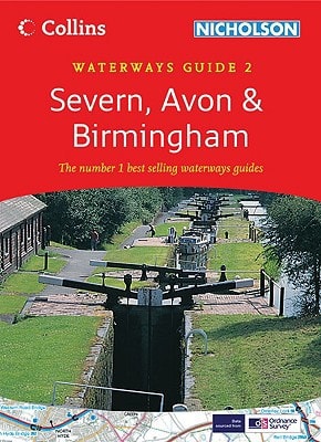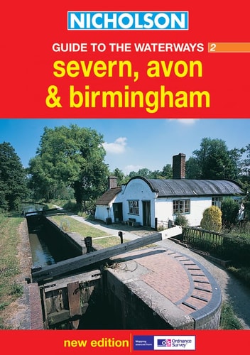
Nicholson Guide to the Waterways 2: Severn, Avon & Birmingham
0
0
As an Amazon Associate and affiliate partner, Menrva Books earns from qualifying purchases. Learn more
Author Description
This guide to the waterways of the Severn, Avon and Birmingham area features four-colour Ordnance Survey mapping, with facilities and towpaths clearly shown, and comprehensive navigational notes. Newly restored/opened canals and rivers are included. The navigational notes contain information on planning a cruise, using a lock and bridges, winding holes, boatyards and local services. The notes also cover the history of each canal, places of interest, pubs and restaurants and opportunities for walking and cycling. The waterways covered in this guide are River Avon, Birmingham Canal Navigations, Droitwich Barge and Droitwich Junction Canal, Gloucester and Sharpness Canal and the River Severn, Staffordshire and Worcestershire Canal, Stourbridge and Dudley Canals, Stratford-on-Avon Canal and Worcester and Birmingham Canal.
Menrva's Summary
THE THESIS
This guide serves as a comprehensive navigational and logistical resource for boaters and travelers exploring the canal and river networks of the Severn, Avon, and Birmingham regions. The Ordnance Survey provides detailed cartographic data and practical operational instructions, ensuring that users can safely navigate locks, bridges, and winding holes while accessing essential local services. By integrating historical context with modern infrastructure updates, the text functions as both a technical manual for vessel operation and a recreational companion for those engaging in canal-side tourism.
THE SCOPE MAP
What You Will Find
- Detailed four-color Ordnance Survey mapping of canal and river routes.
- Technical navigational notes covering lock operation, bridge clearance, and boatyard locations.
- Comprehensive listings of local amenities including pubs, restaurants, and walking or cycling paths.
- Historical overviews and points of interest for the River Avon, Birmingham Canal Navigations, and the River Severn.
THE AUTHORITY PERSPECTIVE
The Nicholson series is widely regarded as the standard reference for inland waterway navigation in the United Kingdom due to its precise cartography and practical focus. The inclusion of updated navigational data and local service information makes this a functional tool for both novice and experienced canal travelers.
Page Count:
168
Publication Date:
2003-03-01
Publisher:
HarperCollins UK
ISBN-10:
000713665X
ISBN-13:
9780007136650
Travel
Canals
England
Maps
Boating
Reference
Geography
United Kingdom
Community Tags
Similar Books