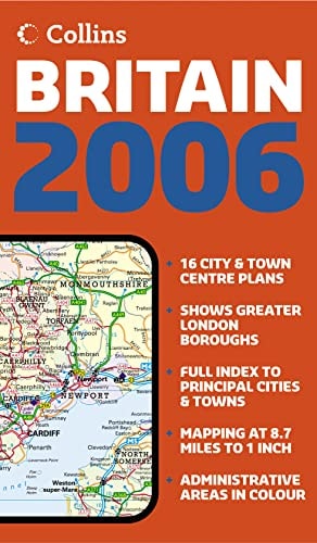
Map of Britain: London Maps
0
0
As an Amazon Associate and affiliate partner, Menrva Books earns from qualifying purchases. Learn more
Author Description
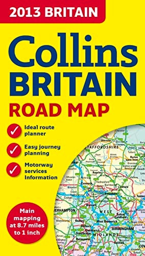
Full color double-sided map of Great Britain at 9 miles to 1 inch with clear, detailed road network and administrative areas shown in colorA general purpose map for business users and tourists, this popular map is useful for reference or route planning, with a particular emphasis on political features. It has clear political coloring with counties and unitary authorities shown in color as well as showing a detailed road network. It includes 16 city/town center street plans, a place name index to place names, a mileage chart, and a key in English, French, and German. Northern England and Scotland are on one side with Southern England and Wales on the other.
Menrva's Summary
THE THESIS
This publication provides a comprehensive cartographic reference tool designed to facilitate navigation and administrative understanding of Great Britain. The work utilizes detailed scale mapping and political boundary data to assist business users and travelers in route planning and regional analysis. By integrating multi-lingual keys and localized city plans, the text serves as a functional resource for both domestic and international navigation.
THE SCOPE MAP
What You Will Find
- Detailed road network mapping at a scale of 9 miles to 1 inch.
- Political and administrative boundary coloring for counties and unitary authorities.
- 16 specialized city and town center street plans.
- A comprehensive place name index and mileage chart for distance calculation.
- Multi-lingual map keys in English, French, and German.
THE AUTHORITY PERSPECTIVE
This map is regarded as a standard, utilitarian reference tool for those requiring clear, physical navigation aids in a digital-heavy era. The inclusion of multi-lingual support and specific administrative coloring suggests a focus on accessibility for a broad, international user base.
Page Count:
1
Publication Date:
2012-10-29
Publisher:
COLLINS
ISBN-10:
0007468687
ISBN-13:
9780007468683
Travel
World
Geography
Reference
Cartography
Atlases & Maps
Maps