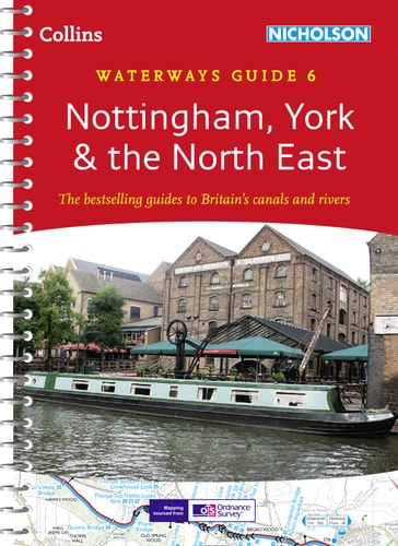
Nottingham, York & the North East: Waterways Guide 6
0
0
As an Amazon Associate and affiliate partner, Menrva Books earns from qualifying purchases. Learn more
Author Description
This popular guide covers the canals and waterways between York and the River Trent south of Nottingham. Color ordnance Survey® maps clearly show locks, towpaths and boating facilities. There are also comprehensive navigational notes as well as descriptions of the towns and villages, pubs and restaurants alongside the waterways.
Menrva's Summary
THE THESIS
This guide provides a comprehensive navigational and logistical framework for boaters and travelers exploring the canal networks and waterways spanning from York to the River Trent. The authors, backed by the cartographic expertise of Collins UK, utilize Ordnance Survey data to synthesize technical navigational requirements with practical information for those traversing the North East of England. The text functions as a primary resource for planning transit, identifying infrastructure, and locating amenities along these specific inland routes.
THE SCOPE MAP
What You Will Find
- Detailed Ordnance Survey maps illustrating locks, towpaths, and mooring points.
- Comprehensive navigational notes for safe passage through the regional canal systems.
- Descriptions of local towns, villages, and service points including pubs and restaurants.
- Geographic coverage extending from York down to the River Trent south of Nottingham.
THE AUTHORITY PERSPECTIVE
This guide is regarded as a standard reference for inland waterway navigation in the United Kingdom, valued for its integration of precise cartography and practical travel data. The inclusion of specific infrastructure details makes it a functional tool for both recreational boaters and those interested in the regional geography of the North East.
Page Count:
192
Publication Date:
2014-03-01
Publisher:
HarperCollins UK
ISBN-10:
0007493800
ISBN-13:
9780007493807
Travel
Canals
Waterways
Navigation
England
Guidebook
Great Britain
Community Tags
Similar Books