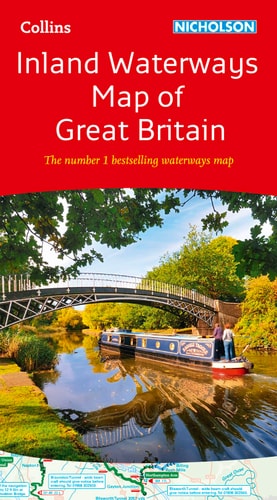
Collins Nicholson Inland Waterways Map of Great Britain
0
0
As an Amazon Associate and affiliate partner, Menrva Books earns from qualifying purchases. Learn more
Author Description
The map companion to the Collins/Nicholson Waterways Guides, covering the entire network of canal and river navigations in England, Scotland, and Wales, including newly restored/opened canals and rivers. The map identifies narrow and broad canals, navigable rivers, tidal river navigations, and waterways under construction. It also includes contact telephone numbers and dimensions for each waterway and internet links. There are also clear insets of the Birmingham Canal Navigations, Scottish inland waterways, the Norfolk Broads, and the London area.About the AuthorCollins Maps are among the most popular in the world, particularly for families and school use, and allow readers to explore the world through accurate and up-to-date mapping.
Menrva's Summary
THE THESIS
This map details the comprehensive network of inland waterways across Great Britain, serving as an essential reference for navigators and enthusiasts.
THE SCOPE MAP
- Coverage of the entire canal and river network in England, Scotland, and Wales.
- Identification of narrow and broad canals, navigable rivers, and tidal river navigations.
- Information on waterways under construction and newly restored/opened canals.
- Contact telephone numbers and dimensions for each waterway.
- Internet links for further information.
- Clear inset maps of the Birmingham Canal Navigations, Scottish inland waterways, the Norfolk Broads, and the London area.
THE AUTHORITY PERSPECTIVE
As a companion to the established Collins/Nicholson Waterways Guides, this map is designed for practical use by those navigating Britain's canals and rivers. Its detailed coverage and inclusion of essential contact information and dimensions suggest it is a valuable resource for planning and executing waterway journeys. The inclusion of inset maps for key areas further enhances its utility for specific regions.
Page Count:
1
Publication Date:
2016-06-01
Publisher:
Nicholson
ISBN-10:
0008146535
ISBN-13:
9780008146535
Travel
Non-Fiction
Maps
Great Britain
Transportation
Ships
Reference
Boating
Europe
Canals
Community Tags
Similar Books